🍂 The best Cornwall hotels this autumn 🍂
Cornwall.co.uk
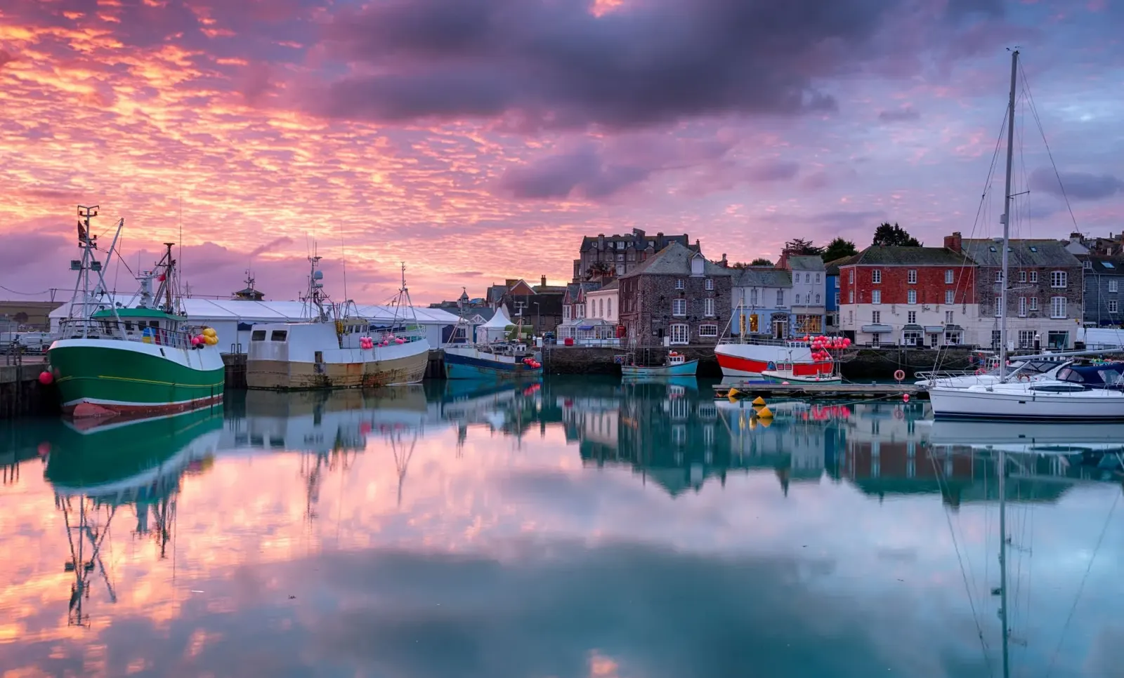
Arriving in Padstow

Travel distances

Fowey to Padstow

Fowey to Padstow on the map

Start and finishThe route by roadSee the stops along the way on their own map ↓

Open this route in Google Maps ↗ for live traffic and turn-by-turn directions.

Distance

38 miles

by road

By car

About 55 minutes

in normal traffic

By bike

About 3 hours 45 minutes

steady pace

By foot

About 12 hours 40 minutes

estimated at a 3mph walking pace

Before you set off

Both the Camel estuary towns are busy through the summer, and Padstow's harbour car parks fill early. The final approach along the estuary slows on August weekends, and Fowey's own parking at the top of the town fills from mid-morning, so plan your parking at both ends.

Which way to go

The fastest route

Leave Fowey up the wooded valley on the B3269 to Lostwithiel, join the A30 near Bodmin, then take the A389 through Wadebridge and along the west bank of the Camel estuary into Padstow.1 About fifty-five minutes in normal traffic, with one of the prettiest approach roads in Cornwall for the final stretch along the water.

The scenic route

For a cycling finish, leave the car at Wadebridge and ride the last five and a half miles into Padstow along the Camel Trail, the level former railway that follows the estuary.2 By road, the lanes off the A389 around St Breock and Little Petherick give a quieter, hillier alternative to the main road, though they are narrow in places.

Caravans and motorhomes

The B3269, A30 and A389 are comfortable for caravans and motorhomes and are the sensible choice when towing.1 The steep climb out of Fowey and the narrow lanes around Little Petherick are best avoided with a large vehicle, so use Padstow's Rock Road or Link Road car parks on the edge of town and Fowey's top-of-town car parks.
Stops along the way

Stops along the way — tap or hover a pin for a photo, the detour and a link to its guideStart and finishThe route by road

  1. Start

    Fowey

  2. Lostwithiel

    4 miles off the A3082, adds roughly 3 minutes

    The medieval stannary capital on the tidal Fowey, with an antiques trade and Restormel Castle, a near-perfect circular Norman keep, on the hill above.3

  3. Bodmin

    6.4 miles off the B3274, adds roughly 2 minutes

    The old county town on the edge of Bodmin Moor, with its jail, its steam railway and the start of the Camel Trail at the head of the estuary.2

  4. Wadebridge

    4.7 miles off the main route, adds roughly 3 minutes

    A busy market town at the lowest bridging point of the Camel, the midpoint of the Camel Trail and the gateway to the estuary road into Padstow.

  5. Harlyn Bay Beach

    2.1 miles off the A389, adds roughly 11 minutes

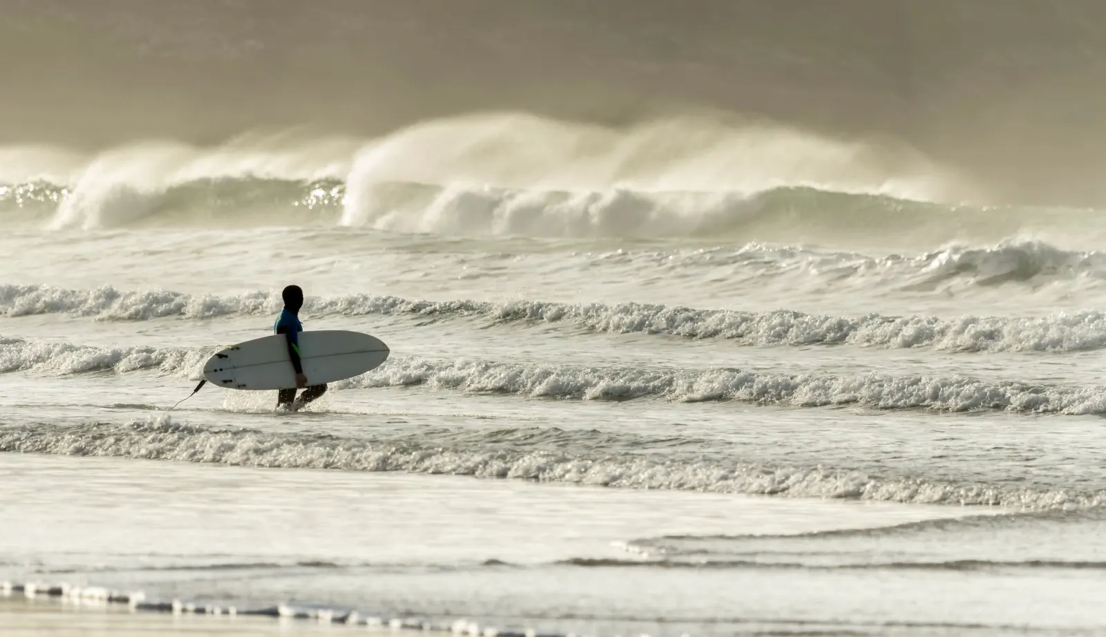
    A wide, sheltered, north-facing sandy bay just west of Padstow, popular with families and surf schools, the last of the great beaches before the town.

  6. Arrive

    Padstow

Practical information

Parking

Padstow's main car park sits above the harbour and fills early in season, so the Rock Road and Link Road car parks on the edge of town are the larger and quieter choice, with a short walk down into the centre. Leaving the car at Wadebridge and cycling the last stretch of the Camel Trail is a popular alternative on a fine day.2 In Fowey, use the Caffa Mill or top-of-town car parks before you leave.

Train and bus

Neither town is quick by public transport. Padstow lost its railway in 1967 and Fowey its passenger line long before, so there is no direct train.4 The practical route is a bus from Fowey to Par or St Austell, then on towards Bodmin and Wadebridge with a change, and a First Kernow bus into Padstow.5 In summer the Rock foot ferry across the Camel is a quicker way into Padstow from that side.6

The best time to travel

May and September give warm weather and far fewer crowds than the school holidays. Avoid the August bank holiday weekend, when accommodation and parking across the Camel towns are at a premium, and travel early in the day for the easiest run and the best chance of a space.

About the Fowey to Padstow journey

The thirty-eight miles from Fowey to Padstow join a south-coast estuary town to the food town of the Camel on the north coast, two tidal harbours at opposite ends of the county. The drive runs up out of the Fowey valley, across the edge of Bodmin Moor and down the Camel estuary, one of the loveliest stretches of road in Cornwall.

Leaving Fowey, the road climbs the wooded valley to Lostwithiel, the ancient stannary capital, then joins the A30 near Bodmin and turns north-west for Wadebridge.7 From Wadebridge the A389 follows the west bank of the Camel, the estuary widening all the way, until the working quay and the huddled streets of Padstow appear below. The Camel Trail shadows the same water for anyone on a bicycle.2

Fowey and Padstow have a good deal in common and one big difference. Both are old working harbours that have kept their quays and turned to visitors, and both guard the mouth of a tidal river. But Fowey built its name on china clay and Daphne du Maurier, while Padstow turned to food, a reputation built on Rick Stein's restaurants from the 1970s onward and since broadened well beyond them. The drive links the two great estuary towns of Cornwall's opposite coasts.

What to do in Padstow

Padstow's harbour is the centre of everything, ringed by seafood restaurants, fishmongers and the queue for the famous fish and chips, with boats leaving for fishing trips and the Rock ferry throughout the day.6 The Camel Trail starts here and is worth riding even for a short stretch along the estuary.2 Above the town, the Elizabethan manor of Prideaux Place opens to visitors in summer and looks out over a deer park to the sea.8 For a walk, the coast path out to Stepper Point and the Daymark tower gives the full sweep of the estuary mouth and the Doom Bar below.

Read the Padstow guide

Going the other way: Padstow to Fowey

Padstow to Fowey reverses the A389, A30 and B3269 and takes about the same fifty-five minutes. The descent into Fowey at the end is steep and narrow, so follow the signs to the top-of-town car parks rather than driving to the quay.

Article Sources
  1. OpenStreetMap contributors (2026). Road network, road classifications and place names. Copyright and licence [online]. Available at: https://www.openstreetmap.org/copyright OpenStreetMap[↩]
  2. Sustrans (no date). Camel Trail (Padstow to Bodmin) [online]. Available at: https://www.sustrans.org.uk/find-a-route-on-the-national-cycle-network/camel-trail Sustrans[↩]
  3. English Heritage (no date). Restormel Castle [online]. Available at: https://www.english-heritage.org.uk/visit/places/restormel-castle English Heritage[↩]
  4. Great Western Railway (no date). Plan your journey: timetables and branch-line services in Cornwall [online]. Available at: https://www.gwr.com/plan-journey Great Western Railway[↩]
  5. First Kernow (no date). Bus services, routes and timetables in Cornwall [online]. Available at: https://www.firstbus.co.uk/cornwall First Kernow[↩]
  6. Padstow Harbour Commissioners (no date). Padstow harbour and the Rock foot ferry [online]. Available at: https://padstow-harbour.co.uk Padstow Harbour Commissioners[↩]
  7. Historic England (no date). The National Heritage List for England [online]. Available at: https://historicengland.org.uk/listing/the-list Historic England[↩]
  8. Prideaux Place (no date). Home page [online]. Available at: https://www.prideauxplace.co.uk Prideaux Place[↩]
  9. Project OSRM (no date). Open Source Routing Machine: route shape and detour calculations [online]. Available at: https://project-osrm.org Project OSRM
  10. Ordnance Survey (no date). National Grid references used to position each place on the route map [online]. Available at: https://www.ordnancesurvey.co.uk Ordnance Survey
  11. Google (no date). Google Maps: live traffic and turn-by-turn directions [online]. Available at: https://www.google.com/maps Google Maps