๐Ÿ‚ The best Cornwall hotels this autumn ๐Ÿ‚
Cornwall.co.uk
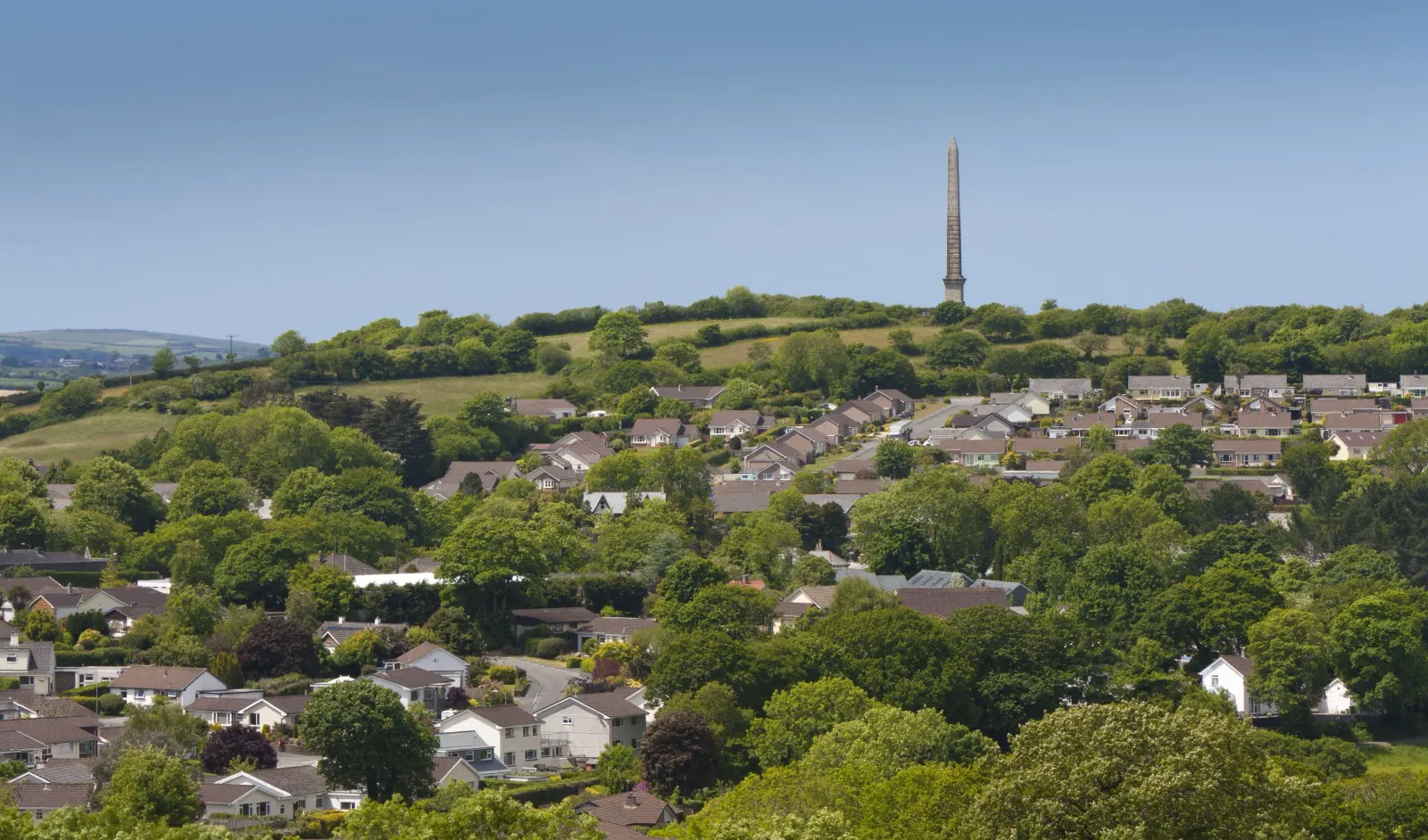
Arriving in Bodmin

Travel distances

Truro to Bodmin

Truro to Bodmin on the map

Start and finishThe route by roadSee the stops along the way on their own map โ†“

Open this route in Google Maps โ†— for live traffic and turn-by-turn directions.

Distance

18 miles

by road

By car

About 30 minutes

in normal traffic

By bike

About 1 hour 45 minutes

steady pace

By foot

About 5 hours 30 minutes

on foot

Before you set off

The A30 between Truro and Bodmin carries a steady volume of traffic throughout the year. The dual-carriageway section is fast and largely trouble-free, but the approaches to both towns slow in the weekday rush hour and on summer Saturday afternoons when the holiday traffic fills the central spine of Cornwall.

Which way to go

The fastest route

Take the A390 east from Truro through Probus and Grampound, then pick up the A30 eastbound at Fraddon and follow it to the Bodmin junction, dropping onto the A389 for the final mile into the town centre.1 It is the standard route and entirely dual carriageway for most of its length.

The scenic route

Leave Truro eastbound on the A390 and turn north through Probus and Grampound Road, following the Fal valley through the quieter lanes to Lanivet and into Bodmin from the south.1 The wooded valley lanes are a complete contrast to the A30 and add about twenty minutes, but on a fine day the drive is worth every one of them.

Caravans and motorhomes

The A30 and A390 are both suitable for caravans and motorhomes. Bodmin town centre is manageable for large vehicles, with signed car parks on the main approach roads. The Bodmin Parkway rail station, two miles south of the town, has generous parking for motorhomes passing through on the main line.

Stops along the way

Stops along the way โ€” tap or hover a pin for a photo, the detour and a link to its guideStart and finishThe route by road

  1. Start

    Truro

  2. Probus

    on the A390, no detour needed

    A small village with the tallest parish church tower in Cornwall, well worth a brief stop on the A390.

  3. Grampound

    on the A390, no detour needed

    A quiet village on the old coaching road with a good farm shop and a watermill, sitting on the Fal just above its tidal reach.

  4. Lanivet

    1 mile off the A30, adds roughly 6 minutes

    The geographical centre of Cornwall, marked by an ancient cross, with the Saints Way long-distance path passing through the village.

  5. Arrive

    Bodmin

Practical information

Parking

Bodmin has several car parks close to the town centre. The main Priory Road car park is the largest and most convenient. Fore Street and the streets below it have limited on-street parking but it is free and usually available outside peak hours.

Train and bus

The bus from Truro to Bodmin runs regularly on the First Kernow network, with a journey time of around fifty minutes via the A30.2 The mainline train stops at Bodmin Parkway, two miles south of the town, with a taxi or the 555 bus for the last leg; from Truro the train takes about fifteen minutes.3

The best time to travel

Any time outside the weekday rush hour on the A30. Summer Saturday afternoons can back up at the Bodmin end. The A390 scenic alternative is clear at almost any time.

About the Truro to Bodmin journey

Eighteen miles up the spine of Cornwall, from the county's only city to its ancient county town, and a pairing that makes more sense the longer you think about it. Truro took the administrative crown in the nineteenth century; Bodmin held it for centuries before that. The drive up the A30 is functional and fast โ€” dual carriageway most of the way, the moor rising on the left and the clay tips on the right โ€” but the destination is anything but ordinary. Bodmin Jail, the moor, Cardinham Woods and the memory of two Cornish rebellions are all waiting at the other end.

What to do in Bodmin

Start at Bodmin Jail, now a hotel and heritage attraction, whose dungeons and execution yard are as compelling as anything in Cornwall. Cardinham Woods, three miles east, has waymarked trails through ancient oak and pine and a good cafe in the forest. The town museum on Mount Folly holds the county regiment's history and the story of the Bodmin rebellions. The Saints Way footpath north to Padstow passes through the town and is worth a morning in either direction.

Read the Bodmin guide

Going the other way: Bodmin to Truro

Bodmin to Truro is the same eighteen miles in reverse, mostly the A30 westbound and the A390 into Truro. The return is straightforward and the drive time is identical in both directions.

Article Sources
  1. OpenStreetMap contributors (2026). Road network, road classifications and place names. Copyright and licence [online]. Available at: https://www.openstreetmap.org/copyright OpenStreetMap[โ†ฉ]
  2. First Kernow (no date). Bus services, routes and timetables in Cornwall [online]. Available at: https://www.firstbus.co.uk/cornwall First Kernow[โ†ฉ]
  3. National Rail Enquiries (no date). Train times and journey planner [online]. Available at: https://www.nationalrail.co.uk National Rail[โ†ฉ]
  4. Project OSRM (no date). Open Source Routing Machine: route shape and detour calculations [online]. Available at: https://project-osrm.org Project OSRM
  5. Ordnance Survey (no date). National Grid references used to position each place on the route map [online]. Available at: https://www.ordnancesurvey.co.uk Ordnance Survey
  6. Google (no date). Google Maps: live traffic and turn-by-turn directions [online]. Available at: https://www.google.com/maps Google Maps