🍂 The best Cornwall hotels this autumn 🍂
Cornwall.co.uk
Arriving in Truro

Travel distances

Padstow to Truro

Padstow to Truro on the map

Start and finishThe route by roadSee the stops along the way on their own map ↓

Open this route in Google Maps ↗ for live traffic and turn-by-turn directions.

Distance

24 miles

by road

By car

About 45 minutes

in normal traffic

By bike

About 2 hours 15 minutes

steady pace

By foot

About 8 hours

estimated at a 3mph walking pace

Before you set off

The twenty-four miles run quickly for most of the year, but the estuary road out of Padstow and the A39 through St Columb both slow on summer weekends, and Padstow's own car parks fill by mid-morning in season. For a morning in the city, set off early and you will have the roads largely to yourself.

Which way to go

The fastest route

Leave Padstow on the A389 along the Camel estuary to Wadebridge, then take the A39 south through St Columb Major to the Indian Queens junction and join the A30.1 Follow the A30 south to Carland Cross and turn off for the A39 into Truro. Around forty-five minutes in normal traffic, nearly all of it on fast main road once you are clear of the estuary.

The scenic route

For a slower, prettier run, leave the A389 near St Issey and follow the lanes through St Mawgan and the wooded Vale of Lanherne, then cut back to St Columb to rejoin the main road.2 It adds around fifteen minutes and takes in some of the quietest country in this corner of Cornwall, but the lanes are narrow, so keep to the A39 if you are in a hurry or towing.

Caravans and motorhomes

The A389, A39 and A30 all carry heavy traffic every day and present no difficulty for a caravan or motorhome.1 The Lanherne lanes on the scenic alternative are single track with high hedges and few passing places, so leave those for a car and use the main road when towing.
Stops along the way

Stops along the way — tap or hover a pin for a photo, the detour and a link to its guideStart and finishThe route by road

  1. Start

    Padstow

  2. Wadebridge

    4.7 miles off the main route, adds roughly 15 minutes

    The town at the lowest bridging point of the River Camel and the hub of the Camel Trail, the eighteen-mile walking and cycling path that runs down to Padstow and up to Bodmin.3

  3. St Columb Major

    A handsome former market town on the A39, famous for its twice-yearly Shrove Tuesday hurling match, one of the last survivals of medieval street football in Cornwall.

  4. Truro

    On the main route

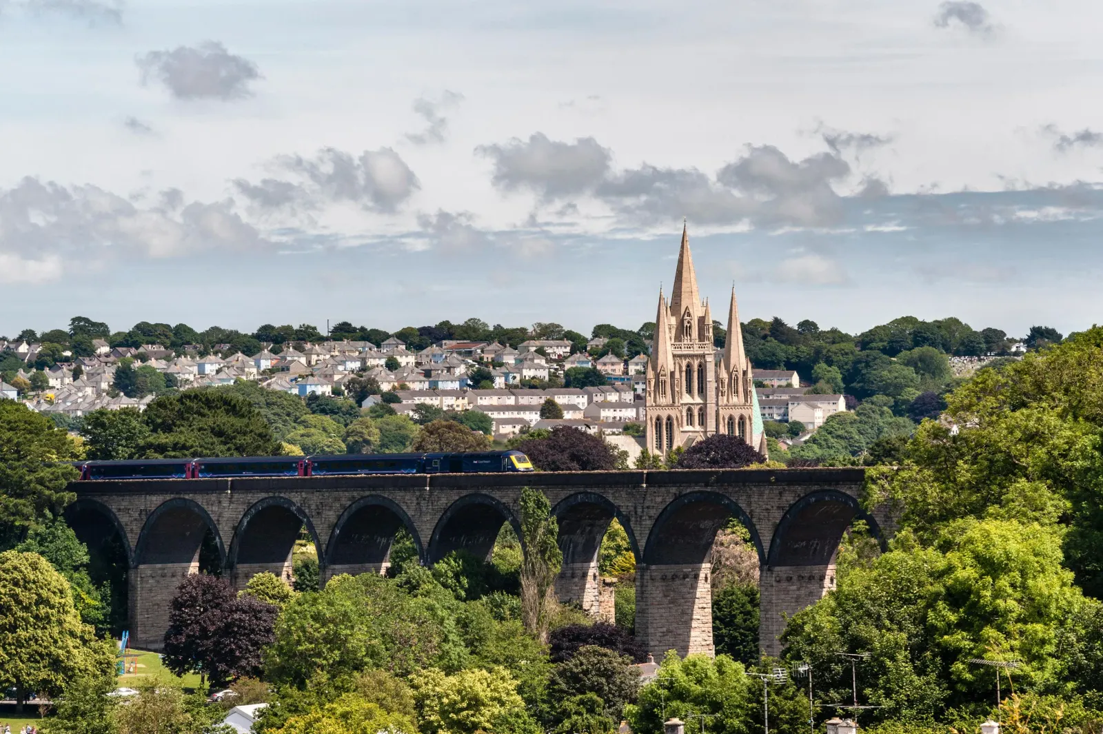
    The cathedral city and county capital at the head of the Truro River, its three spires rising over the rooftops at the end of the journey.4

  5. Arrive

    Truro

Practical information

Parking

Truro's central car parks cluster around Lemon Quay, Moorfield and the railway station, and all three fill from mid-morning on market days. The Park & Ride at Langarth on the western edge of the city is the easier option in summer, with a frequent bus into the centre. In Padstow itself, use the large Harbour car park above the town before you leave.

Train and bus

There is no direct train, since Padstow lost its railway in 1967. The practical route by public transport is a First Kernow bus from Padstow through Wadebridge to Bodmin Parkway, then the main line a short way to Truro.5 Allow around an hour and a half with the connection.6 Buses run through the day between Padstow, Wadebridge and the Bodmin interchange.

The best time to travel

Any time outside the weekday commuter peaks and the summer weekends is straightforward. Aim to arrive in Truro before 10am or after 4pm in July and August, when the city car parks are at their busiest, and leave Padstow early to get ahead of the estuary traffic.

About the Padstow to Truro journey

The journey from Padstow to Truro links the north coast to the south, the broad tidal mouth of the Camel to the cathedral city at the head of the Fal, and at twenty-four miles it is one of the shorter crossings of the county's waist. For most of the way it is a fast run on the A39 and A30, the two roads that between them carry the bulk of Cornwall's traffic.

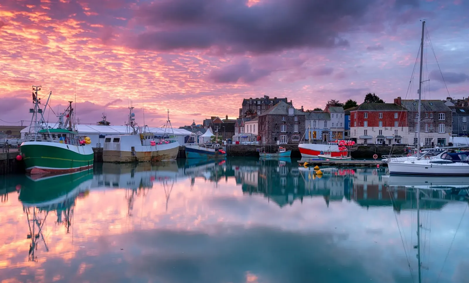
Padstow sits on the west bank of the Camel near the river's mouth, sheltered from the Atlantic by the Doom Bar sandbank that has wrecked so many ships over the centuries. It was a working fishing and trading port for most of its history and still lands a daily catch, though it is best known now as a food destination. The road climbs away from the estuary at Wadebridge, crosses the high farmland around St Columb, and drops towards the clay country and the Fal valley as it nears Truro.

Truro grew inland as the place where Cornish tin was weighed and taxed, and later as the administrative and ecclesiastical capital of the county, its Gothic Revival cathedral completed in 1910. It is a short enough journey that the real question is rarely the driving but what you do with the car once you arrive, since Truro is built for a market town rather than for parking.

What to do in Truro

Truro rewards a half day on foot. The Royal Cornwall Museum on River Street holds the county's finest collection of Cornish art, minerals and social history,7 and Truro Cathedral, completed in 1910 in a soaring Gothic Revival style, is open to visitors most days.4 Lemon Street, one of the best-preserved Georgian streets in the South West, runs uphill to the Lander Monument, and the covered Pannier Market and Lemon Quay host regular food and craft stalls. The city sits at the head of the Truro River, navigable by small boat at high tide down to Malpas and the Carrick Roads, which gives the place a quietly maritime edge many visitors do not expect.

Read the Truro guide

Going the other way: Truro to Padstow

Truro to Padstow reverses the A30, A39 and A389 and takes much the same forty-five minutes. The run north is usually clear once past Carland Cross, and the final stretch along the Camel estuary into Padstow is one of the prettiest approach roads in Cornwall. If the harbour car parks are full in summer, the Rock Road and Link Road car parks on the edge of town are larger and quieter.

Article Sources
  1. OpenStreetMap contributors (2026). Road network, road classifications and place names. Copyright and licence [online]. Available at: https://www.openstreetmap.org/copyright OpenStreetMap[↩]
  2. National Trust (no date). Home page [online]. Available at: https://www.nationaltrust.org.uk National Trust[↩]
  3. Sustrans (no date). Camel Trail (Padstow to Bodmin) [online]. Available at: https://www.sustrans.org.uk/find-a-route-on-the-national-cycle-network/camel-trail Sustrans[↩]
  4. Truro Cathedral (no date). Home page [online]. Available at: https://www.trurocathedral.org.uk Truro Cathedral[↩]
  5. First Kernow (no date). Bus services, routes and timetables in Cornwall [online]. Available at: https://www.firstbus.co.uk/cornwall First Kernow[↩]
  6. Great Western Railway (no date). Plan your journey: timetables and branch-line services in Cornwall [online]. Available at: https://www.gwr.com/plan-journey Great Western Railway[↩]
  7. Royal Cornwall Museum (no date). Home page [online]. Available at: https://royalcornwallmuseum.org.uk Royal Cornwall Museum[↩]
  8. Project OSRM (no date). Open Source Routing Machine: route shape and detour calculations [online]. Available at: https://project-osrm.org Project OSRM
  9. Ordnance Survey (no date). National Grid references used to position each place on the route map [online]. Available at: https://www.ordnancesurvey.co.uk Ordnance Survey
  10. Google (no date). Google Maps: live traffic and turn-by-turn directions [online]. Available at: https://www.google.com/maps Google Maps