🍂 The best Cornwall hotels this autumn 🍂
Cornwall.co.uk
Arriving in Newquay

Travel distances

Padstow to Newquay

Padstow to Newquay on the map

Start and finishThe route by roadSee the stops along the way on their own map ↓

Open this route in Google Maps ↗ for live traffic and turn-by-turn directions.

Distance

14 miles

by road

By car

About 25 minutes

in normal traffic

By bike

About 1 hour 25 minutes

steady pace

By foot

About 4 hours 40 minutes

estimated at a 3mph walking pace

Before you set off

This is a short hop, but both towns are among the busiest on the north coast and the roads in feel it from July onward. Padstow's car parks fill by mid-morning and Newquay's beach car parks not long after, so travel early or late in the day in high summer and you will save yourself the worst of it.

Which way to go

The fastest route

Leave Padstow on the A389 south, join the A39 briefly and turn off onto the A3059 past St Mawgan and Cornwall Airport Newquay into the town.1 It is a straightforward run of about twenty-five minutes on good open road, dropping into Newquay from the east.

The scenic route

For the coastal version, take the B3276 south out of Padstow through Trevone and along the cliffs past Constantine Bay and Porthcothan to Mawgan Porth, then on above Watergate Bay into Newquay.2 It adds around twenty minutes and runs within sight of the sea for much of the way, past some of the finest surf beaches on the north coast, but the lanes are narrow in places and slow in summer.

Caravans and motorhomes

The A39 and A3059 are comfortable for caravans and motorhomes and are the sensible choice when towing.1 The coastal B3276 is narrow, steep and busy in places, with tight bends through the villages, so keep a large vehicle to the main road and use Newquay's long-stay car parks on the edge of town.
Stops along the way

Stops along the way — tap or hover a pin for a photo, the detour and a link to its guideStart and finishThe route by road

  1. Start

    Padstow

  2. Harlyn Bay Beach

    0.8 miles off the B3276, adds roughly 5 minutes

    A wide, sheltered, north-facing sandy bay just west of Padstow, popular with families and surf schools and the first of the great beaches on the coastal route.

  3. Mawgan Porth Beach

    On the B3276

    A broad sandy cove at the mouth of the Vale of Lanherne, roughly halfway along the coast road and a good place to break the journey.

  4. Porth Beach

    On the B3276, adds roughly 1 minute

    A long, sheltered tidal beach on the eastern edge of Newquay, calmer than the surf beaches and backed by a sandy bar at low tide.

  5. Whipsiderry Beach

    On the B3276

    A quieter sandy beach beneath the cliffs at Porth, reached by steep steps and revealing caves and rock pools at low tide.

  6. Arrive

    Newquay

Practical information

Parking

Newquay has several large car parks close to the centre and the beaches. Tregunnel Hill and Manor Road are convenient for the town, and Fistral Beach has its own car park which fills quickly on a surf day. For summer weekends, arrive before 9am or use one of the long-stay car parks on the approach roads. In Padstow, the Harbour car park above the town is the obvious choice.

Train and bus

Both towns keep their bus links but neither is quick by public transport over so short a distance. First Kernow buses run between Padstow, Wadebridge and Newquay through the day, with a change at Wadebridge on some services.3 Newquay also keeps its railway, a scenic branch line from Par across the clay country, and Cornwall Airport Newquay sits on the A3059 between the two towns.4

The best time to travel

May and September offer warm water, good surf and far fewer crowds than the school holidays. Avoid the August bank holiday weekend, when accommodation and parking across both towns are at a premium, and travel early in the day if you want a coastal run without the summer queues.

About the Padstow to Newquay journey

The fourteen miles from Padstow to Newquay join two of the biggest names on Cornwall's north coast, the Camel estuary food town and the surf capital of the Atlantic coast. It is the shortest of the Padstow journeys, under half an hour on the main road, but it strings together some of the finest beaches in the county if you take the coast.

The quick way runs inland on the A3059 past St Mawgan and the airport, dropping into Newquay from the east. The slow way hugs the cliffs on the B3276, past Trevone and Harlyn, the dune-backed surf beaches of Constantine and Porthcothan, and the wide sweep of Mawgan Porth and Watergate Bay. Either way the Atlantic swell that makes Newquay what it is begins to show in the size of the waves as you near the town.

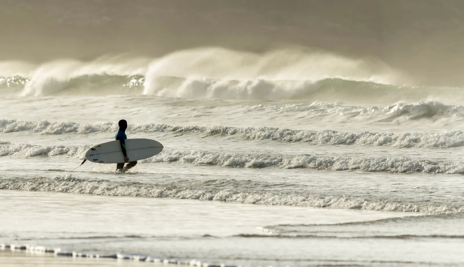
Newquay grew from a small pilchard-fishing port into Cornwall's largest resort, and since the surf boom of the 1960s it has been the centre of British surfing. Fistral Beach, facing the full fetch of the North Atlantic, hosts national and international competitions through the summer, and the town's beaches, nightlife and surf schools draw a younger, livelier crowd than anywhere else in the county.

What to do in Newquay

Newquay is all about its beaches. Fistral, on the western headland, takes the biggest swells and is the heart of the surf scene, while Towan, Great Western and Tolcarne line the town side and are gentler for families. Watergate Bay, a couple of miles north, has a famous beach, a surf school and a well-known beach restaurant. In the town itself, Newquay Zoo and the Blue Reef Aquarium are reliable wet-weather options,56 and the clifftop walk out to Towan Head and the old Huer's Hut, from where lookouts once spotted the pilchard shoals, gives the best view along the coast.

Read the Newquay guide

Going the other way: Newquay to Padstow

Newquay to Padstow reverses the route and takes about the same twenty-five minutes on the A3059, or longer and prettier on the coast road. The run north is usually the quieter of the two directions, and the final stretch along the Camel estuary into Padstow is a fine way to end the journey. The coastal B3276 is best saved for a fine day and an unhurried car.

Article Sources
  1. OpenStreetMap contributors (2026). Road network, road classifications and place names. Copyright and licence [online]. Available at: https://www.openstreetmap.org/copyright OpenStreetMap[↩]
  2. National Trust (no date). Home page [online]. Available at: https://www.nationaltrust.org.uk National Trust[↩]
  3. First Kernow (no date). Bus services, routes and timetables in Cornwall [online]. Available at: https://www.firstbus.co.uk/cornwall First Kernow[↩]
  4. Great Western Railway (no date). Plan your journey: timetables and branch-line services in Cornwall [online]. Available at: https://www.gwr.com/plan-journey Great Western Railway[↩]
  5. Newquay Zoo (no date). Home page [online]. Available at: https://www.newquayzoo.org.uk Newquay Zoo[↩]
  6. Blue Reef Aquarium (no date). Blue Reef Aquarium Newquay [online]. Available at: https://www.bluereefaquarium.co.uk/newquay Blue Reef Aquarium[↩]
  7. Project OSRM (no date). Open Source Routing Machine: route shape and detour calculations [online]. Available at: https://project-osrm.org Project OSRM
  8. Ordnance Survey (no date). National Grid references used to position each place on the route map [online]. Available at: https://www.ordnancesurvey.co.uk Ordnance Survey
  9. Google (no date). Google Maps: live traffic and turn-by-turn directions [online]. Available at: https://www.google.com/maps Google Maps