🍂 The best Cornwall hotels this autumn 🍂
Cornwall.co.uk
Arriving in Fowey

Travel distances

Falmouth to Fowey

Falmouth to Fowey on the map

Start and finish

Open this route in Google Maps ↗ for live traffic and turn-by-turn directions.

Distance

26 miles

by road

By car

About 45 minutes

in normal traffic

By bike

About 2 hours 30 minutes

steady pace

By foot

About 8 hours

on foot

Before you set off

The A390 through St Austell slows in term time as well as in summer. Fowey itself closes to through traffic during the Royal Fowey Regatta in August1 and fills during the Daphne du Maurier Festival in May.2 Outside those dates it is a straightforward drive.

Which way to go

The fastest route

Take the A39 north from Falmouth to Truro, then the A390 east through St Austell and Lostwithiel, dropping onto the B3269 for the final run into Fowey.3 It is the most direct line and well signed throughout.

The scenic route

From Truro take the A390 east to Lostwithiel, then follow the river road south down the west bank of the Fowey.3 The wooded estuary approach along the river is the nicer way in, and the views across to Bodinnick are worth the minor diversion. Add about ten minutes.

Caravans and motorhomes

Do not take a large vehicle into Fowey town centre. The main street is one-way, narrow and without turning room near the ferry. Park at Caffa Mill or the Central car park at the top of the town and walk down. The hill is steep but short. The Bodinnick car ferry can take a motorhome but check dimensions first.4
Stops along the way

  1. Start

    Falmouth

  2. Truro

    0.3 miles off the A39, adds roughly 5 minutes

    The natural midpoint and Cornwall's only city, worth a stop at the cathedral or the covered market on the way through.5

  3. St Austell

    0.5 miles off the A390, adds roughly 6 minutes

    The gateway to the Eden Project and the clay country, with the Eden Project itself a short detour to the north.6

  4. Lostwithiel

    0.3 miles off the A390, adds roughly 4 minutes

    Cornwall's medieval capital and now its antiques town, with Restormel Castle on the hill above.7

  5. Arrive

    Fowey

Practical information

Parking

Everything useful is at the top of Fowey. Caffa Mill and the Central car park are the two to aim for; Caffa Mill is also where the Bodinnick car ferry leaves from.4 There is effectively no parking at the bottom of the town, and a shuttle bus runs down the hill in season.

Train and bus

By rail it is Falmouth Docks to Truro, then east to Par, then a short bus or taxi to Fowey.8 Allow around an hour and a half from Falmouth. First Kernow buses serve the Par to Fowey section.9

The best time to travel

Weekday mornings outside the main summer season. The A390 through St Austell is the pinch point — it flows best before 8.30am and after 6pm. Fowey itself is best on a weekday when the day-trip cars are absent.

About the Falmouth to Fowey journey

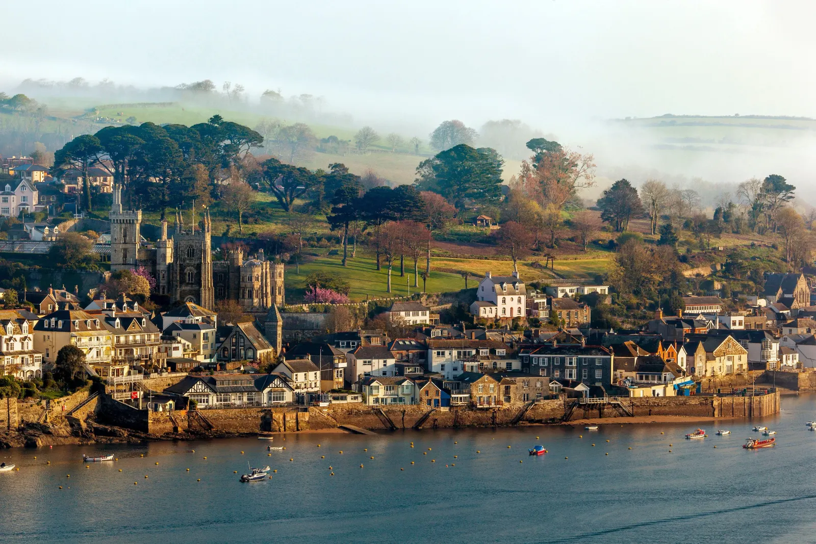
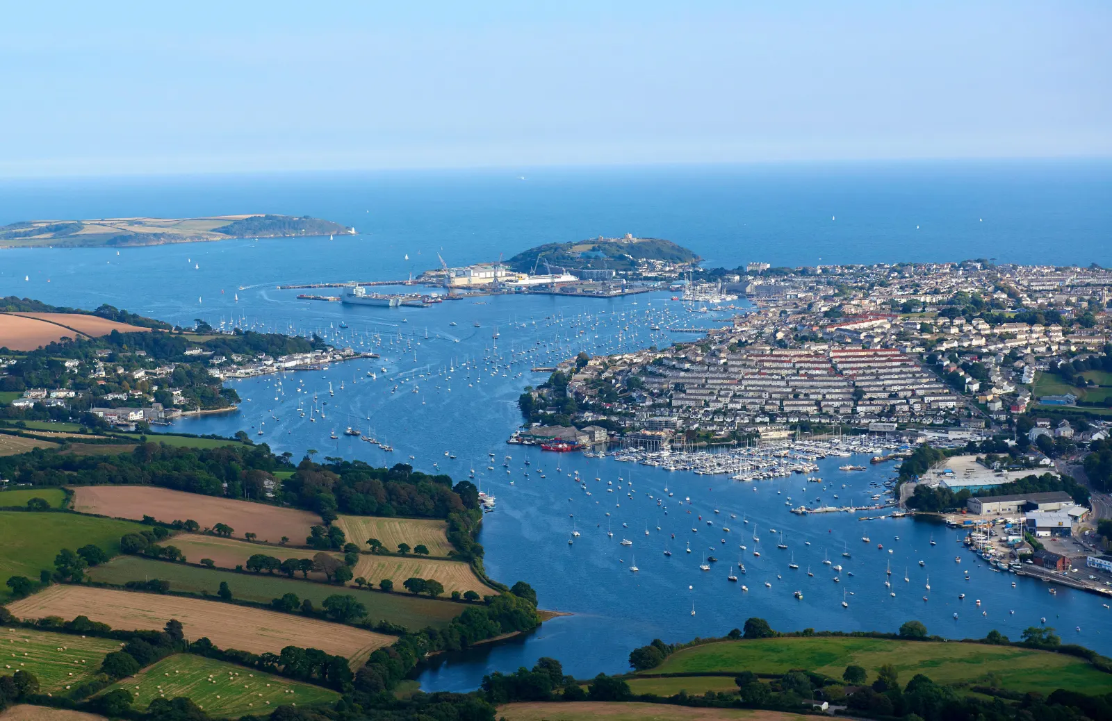
Twenty-six miles along the south coast of Cornwall, from one of the world's great natural harbours to one of its most handsome deep-water estuaries. Falmouth faces the open Channel; Fowey faces inward, its narrow entrance hiding a wide river valley behind. The drive is mostly inland, joining the A390's long eastward run through mining country and clay country before the B3269 drops you suddenly into a town that appears to have changed very little since Daphne du Maurier wrote about it in the 1930s. For good reason: the arrangement of the quay, the ferry, the boats and the wooded hills has not changed much at all.

What to do in Fowey

Walk the town first — it is small and steep and almost entirely pleasing. The Bodinnick ferry crosses the river to the Hall Walk, a four-mile circuit above the water with the best views of the harbour.10 Readymoney Cove is the town beach, five minutes along the front, with St Catherine's Castle on the headland.11 The Polruan foot ferry runs from Whitehouse Quay in summer and is an afternoon's entertainment in itself.4

Read the Fowey guide

Going the other way: Fowey to Falmouth

Fowey to Falmouth is the same twenty-six miles in reverse. The climb out of Fowey is the only awkward part; the A390 west and A39 south are straightforward. Allow extra on weekday afternoons when the St Austell stretch carries commuter traffic.

Article Sources
  1. Royal Fowey Yacht Club (no date). Fowey Royal Regatta [online]. Available at: https://foweyroyalregatta.co.uk Fowey Royal Regatta[↩]
  2. Visit Cornwall (no date). Cornwall events calendar [online]. Available at: https://www.visitcornwall.com Visit Cornwall[↩]
  3. OpenStreetMap contributors (2026). Road network, road classifications and place names. Copyright and licence [online]. Available at: https://www.openstreetmap.org/copyright OpenStreetMap[↩]
  4. Fowey Harbour Commissioners (no date). Fowey harbour, the Bodinnick car ferry and the Polruan passenger ferry [online]. Available at: https://www.foweyharbour.co.uk Fowey Harbour Commissioners[↩]
  5. Truro Cathedral (no date). Home page [online]. Available at: https://www.trurocathedral.org.uk Truro Cathedral[↩]
  6. Eden Project (no date). Home page [online]. Available at: https://www.edenproject.com Eden Project[↩]
  7. English Heritage (no date). Restormel Castle [online]. Available at: https://www.english-heritage.org.uk/visit/places/restormel-castle English Heritage[↩]
  8. Great Western Railway (no date). Plan your journey: timetables and branch-line services in Cornwall [online]. Available at: https://www.gwr.com/plan-journey Great Western Railway[↩]
  9. First Kernow (no date). Bus services, routes and timetables in Cornwall [online]. Available at: https://www.firstbus.co.uk/cornwall First Kernow[↩]
  10. National Trust (no date). Home page [online]. Available at: https://www.nationaltrust.org.uk National Trust[↩]
  11. English Heritage (no date). St Catherine’s Castle [online]. Available at: https://www.english-heritage.org.uk/visit/places/st-catherines-castle English Heritage[↩]
  12. Project OSRM (no date). Open Source Routing Machine: route shape and detour calculations [online]. Available at: https://project-osrm.org Project OSRM
  13. Ordnance Survey (no date). National Grid references used to position each place on the route map [online]. Available at: https://www.ordnancesurvey.co.uk Ordnance Survey
  14. Google (no date). Google Maps: live traffic and turn-by-turn directions [online]. Available at: https://www.google.com/maps Google Maps