πŸ‚ The best Cornwall hotels this autumn πŸ‚
Cornwall.co.uk
Arriving in Fowey

Travel distances

Truro to Fowey

Truro to Fowey on the map

Start and finishThe route by roadSee the stops along the way on their own map ↓

Open this route in Google Maps β†— for live traffic and turn-by-turn directions.

Distance

26 miles

by road

By car

About 45 minutes

in normal traffic

By bike

About 2 hours 30 minutes

steady pace

By foot

About 8 hours 40 minutes

estimated at a 3mph walking pace

Before you set off

The A390 through St Austell is the slow part, and it is slow in term time as well as in August. Fowey itself closes to through traffic during Royal Fowey Regatta week in August[[cite:fowey-regatta]] and over the Daphne du Maurier Festival in May[[cite:visitcornwall]] β€” check before you set off, and expect the car parks at the top of town to be the only option.

Which way to go

The fastest route

A390 east out of Truro through Probus, Grampound and St Austell, then the A3082 down through Par and Tywardreath into Fowey. The A390 is single carriageway nearly all the way[[cite:osm]], so the time is in the villages rather than the miles.

The scenic route

Stay on the A390 past St Austell as far as Lostwithiel, then take the B3269 south down the west bank of the Fowey river[[cite:osm]]. It is a quieter road through woodland with the estuary appearing and disappearing beside you. Add about ten minutes.[[cite:editorial]]

Caravans and motorhomes

Fowey is the hardest town in Cornwall for a large vehicle. The main street is one-way, barely wider than a van, and there is no turning room at the bottom. Park at the Caffa Mill or Central car parks at the top of town and walk down β€” the hill is steep but short.

Stops along the way

Stops along the way β€” tap or hover a pin for a photo, the detour and a link to its guideStart and finishThe route by road

  1. Start

    Truro

  2. St Austell

    0.2 miles off the A390, adds roughly 2 minutes

    The china clay town, and the turn-off for the Eden Project[[cite:eden-project]] and the Lost Gardens of Heligan[[cite:heligan]].

  3. Charlestown Beach

    0.6 miles off the A390, adds roughly 4 minutes

    A Georgian harbour with tall ships moored in it β€” you have seen it on television.

  4. Lostwithiel

    3.9 miles off the A3082, adds roughly 11 minutes

    Cornwall's medieval capital, now the county's antiques town, with Restormel Castle above it.[[cite:restormel]]

  5. Polkerris Beach

    0.5 miles off the A3082, adds roughly 5 minutes

    A sheltered cove with a harbour wall and a pub, two miles short of Fowey.

  6. Arrive

    Fowey

Practical information

Parking

Everything useful is at the top of town. Central and Caffa Mill are the two main car parks, and Caffa Mill is where the Bodinnick car ferry leaves from[[cite:fowey-harbour]]. There is effectively no parking at the bottom, and the shuttle bus runs in season.

Train and bus

Truro to Par on the main line takes about half an hour[[cite:gwr]], and Par is three miles from Fowey β€” a short bus or taxi finishes the job. From the Looe side, the Polruan passenger ferry crosses to Fowey town in a few minutes[[cite:fowey-harbour]] and is the nicest way in.

The best time to travel

Outside regatta week. Mornings are better than afternoons on the A390 through St Austell.

About the Truro to Fowey journey

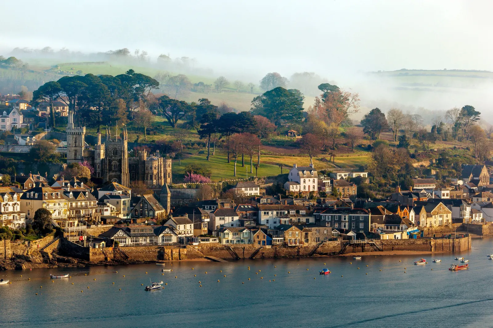
Fowey is a deep-water port that happens to look like a village, and the contrast never quite resolves: china clay ships load upriver while dinghies tack across the harbour in front of them. The drive from Truro is the least interesting part of the day β€” twenty-six miles of A390 through clay country[[cite:editorial]] β€” but it ends with one of the finest estuaries in the south-west. Daphne du Maurier lived and wrote here, and the town has not forgotten it for a moment.

What to do in Fowey

Walk the town first β€” it is small, steep and almost entirely made of pleasant surprises. Take the Bodinnick ferry across for the Hall Walk, a four-mile circuit above the water with views back over the harbour[[cite:national-trust]]. Readymoney Cove is the town beach, five minutes along the front, and St Catherine's Castle sits above it[[cite:st-catherines]]. The Polruan foot ferry runs from Whitehouse Quay in summer.[[cite:fowey-harbour]]

Read the Fowey guide

Going the other way: Fowey to Truro

Fowey to Truro is the same 26 miles and the same road.[[cite:editorial]] The climb out of Fowey is the only awkward part; after that the A390 runs west through St Austell and back into Truro. Allow extra on weekday afternoons, when the St Austell stretch carries school and commuter traffic together.

Article Sources
  1. Road distance and drive time: measured between the two town centres by the Cornwall.co.uk editorial team and reviewed against local knowledge of the route.
  2. Road network, road classifications and place names: OpenStreetMap contributors. Available at: https://www.openstreetmap.org/copyright (Open Database Licence 1.0).
  3. Route shape on the map, and the detour figures for each stop along the way: Open Source Routing Machine (OSRM), derived from OpenStreetMap road data. Available at: https://project-osrm.org
  4. Position of each town, village and beach on the map: OS National Grid references published on that place’s own guide on this site. Available at: https://www.ordnancesurvey.co.uk
  5. Live traffic and turn-by-turn directions, linked from the route map: Google Maps. Available at: https://www.google.com/maps
  6. Cycling times are given at a steady touring pace, and walking times are calculated at 3mph on mixed terrain. Both are planning estimates rather than measured journeys, and are labelled as estimates on the page.