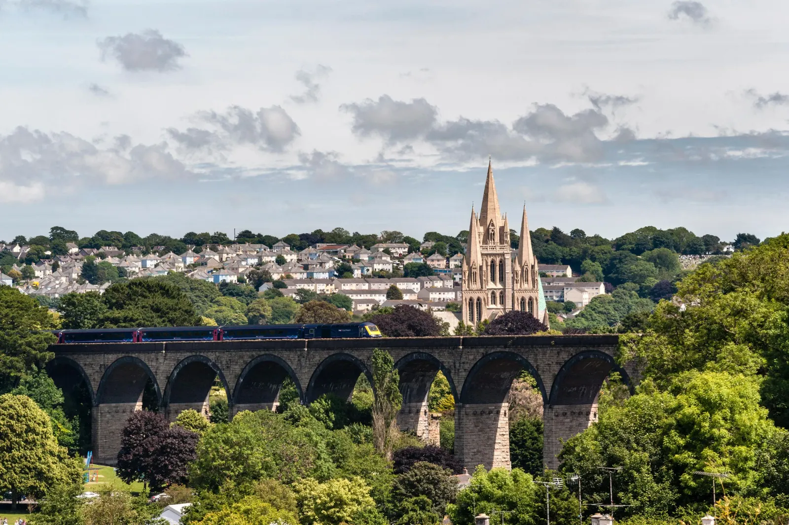
🍂 The best Cornwall hotels this autumn 🍂
Cornwall.co.uk
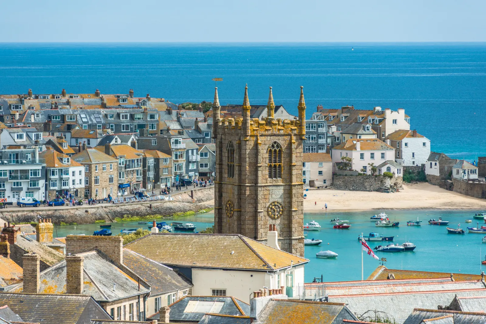
Arriving in St Ives

Travel distances

Fowey to St Ives

Fowey to St Ives on the map

Start and finishThe route by roadSee the stops along the way on their own map ↓

Open this route in Google Maps ↗ for live traffic and turn-by-turn directions.

Distance

52 miles

by road

By car

About 1 hour 20 minutes

in normal traffic

By bike

About 5 hours 15 minutes

steady pace

By foot

About 17 hours 20 minutes

estimated at a 3mph walking pace

Before you set off

The A30 is the fast spine of this journey and flows freely for most of the year, but it is the main holiday route to the far west, so summer changeover Saturdays can be slow between Bodmin and Camborne. St Ives has very little parking and the descent into the town is best avoided in the middle of a summer day, so an early start helps at both ends.

Which way to go

The fastest route

Leave Fowey on the A3082 to St Blazey, join the A390 west to St Austell, then the A391 north to the A30.1 Follow the A30 west past Redruth and Camborne to Hayle, leave at the Loggans Moor roundabout and take the A3074 through Lelant and Carbis Bay into St Ives. About an hour and twenty minutes in normal traffic, most of it on fast dual carriageway.

The scenic route

For a slower, prettier finish, leave the A30 at the Hayle turning and follow the lanes along the edge of the Towans, the great dune system behind the three-mile beach of St Ives Bay,2 before dropping into Lelant and St Ives. The branch railway runs the same way, and parking at Lelant Saltings to ride the last few miles in by train avoids the town's worst bottleneck altogether.

Caravans and motorhomes

The A3082, A390, A391 and A30 are entirely suitable for caravans and motorhomes, with wide lanes and gentle gradients for most of the way.1 The final descent into St Ives is steep and the town's streets are not built for large vehicles, so use the Trenwith car park at the top of the town or the Lelant Saltings Park & Ride and come in by the branch line. Avoid the steep climb out of Fowey when towing by using the top-of-town car parks.
Stops along the way

Stops along the way — tap or hover a pin for a photo, the detour and a link to its guideStart and finishThe route by road

  1. Start

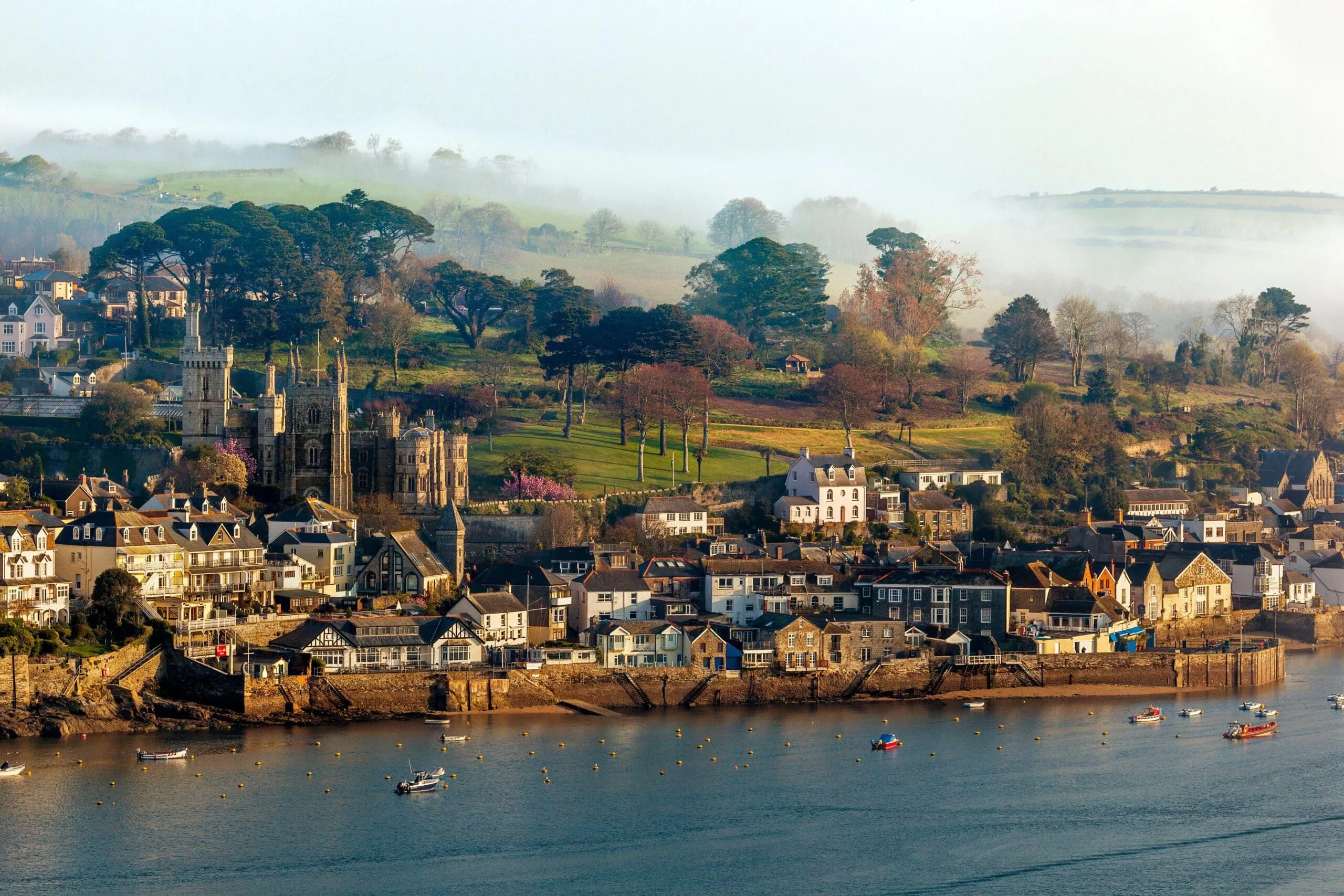
    Fowey

  2. St Austell

    5.8 miles off the B3269, adds roughly 3 minutes

    The capital of the china-clay country, its pale spoil tips landscaped into hills, one now roofed with the biomes of the Eden Project.3

  3. Redruth

    0.8 miles off the A30, adds roughly 8 minutes

    The heart of the Cornish mining district, once among the richest square miles in the world, ringed by the engine houses of the Cornwall and West Devon Mining Landscape.4

  4. Hayle

    0.4 miles off the A30, adds roughly 5 minutes

    An estuary town at the mouth of the Hayle River, with a long industrial heritage and the three-mile beach at the Towans stretching north toward Godrevy.

  5. Carbis Bay Beach

    1 mile off the A3074, adds roughly 5 minutes

    A sheltered, south-facing white-sand beach on the final approach, one of the safest for bathing in West Cornwall and a short walk or branch-line hop from St Ives.

  6. Arrive

    St Ives

Practical information

Parking

St Ives is one of the hardest towns in Cornwall to park in. The Trenwith car park above the town is the largest and feeds a park-and-ride bus down to the harbour, and the Lelant Saltings Park & Ride lets you leave the car and take the scenic branch line in. The small harbour-side car parks fill by early morning in summer. In Fowey, use the Caffa Mill or top-of-town car parks before setting off.

Train and bus

There is no direct train. The journey by rail runs through the interchanges: a bus from Fowey to Par, the main line west to St Erth, then the St Ives Bay branch line for the final four miles.5 The branch runs right along the shore of St Ives Bay with views across to Godrevy Lighthouse and is one of the finest short railway rides in Britain.6 Allow around three hours with the connections, or take a First Kernow bus towards Truro and change for the west.7

The best time to travel

May, June and September give the best balance of weather and quiet roads. In high summer travel early or late in the day and strongly consider the Park & Ride at Lelant rather than driving into the town itself. Leaving Fowey early helps with its car parks too.

About the Fowey to St Ives journey

The fifty-two miles from Fowey to St Ives run most of the length of Cornwall, from a wooded south-coast estuary to the painters' light of St Ives Bay in the far west. It is one of the longer everyday journeys in the county, carried almost entirely by the A30, and it ends in one of the most visited small towns in Britain.

Leaving Fowey for St Austell and the A30, the road runs west through the old mining country of Redruth and Camborne, the engine houses and chimney stacks of the Cornwall and West Devon Mining Landscape standing in the fields on either side.4 This was once the most intensively industrialised corner of rural Britain, its copper and tin shipped out through harbours that now fill with yachts. Beyond Hayle the land opens to the dunes and the long beach of the bay, and the quality of the light changes, which is the thing the painters came for.

St Ives gathered a colony of artists from the late nineteenth century onward, drawn by that light and by cheap lofts to work in, and the tradition runs unbroken to Tate St Ives on the hill above Porthmeor today.8 Arriving from the east, the first sight of the harbour and the headland from the hill above Carbis Bay is one of the great Cornish views, a world away from the tidal quiet of Fowey left behind that morning.

What to do in St Ives

St Ives packs a great deal into a small space. Tate St Ives sits above Porthmeor Beach and shows modern and contemporary art in a building that frames the sea,8 and the Barbara Hepworth Museum and Sculpture Garden nearby keeps the sculptor's studio and garden much as she left them.9 The harbour is the heart of the town, with its fishing boats, its narrow granite lanes of galleries and pasty shops, and four beaches within walking distance: Porthmeor for surf, Porthminster for sand and a famous beach cafe, Porthgwidden for shelter, and the harbour beach itself. The South West Coast Path out to Clodgy Point gives an easy walk and a wide view back over the town.

Read the St Ives guide

Going the other way: St Ives to Fowey

St Ives to Fowey reverses the A30 and the A390 and takes much the same hour and twenty minutes. If you came in by the branch line and Park & Ride, pick the car up at Lelant Saltings for the drive home, and allow for the steep descent into Fowey at the end.

Article Sources
  1. OpenStreetMap contributors (2026). Road network, road classifications and place names. Copyright and licence [online]. Available at: https://www.openstreetmap.org/copyright OpenStreetMap[↩]
  2. National Trust (no date). Home page [online]. Available at: https://www.nationaltrust.org.uk National Trust[↩]
  3. Eden Project (no date). Home page [online]. Available at: https://www.edenproject.com Eden Project[↩]
  4. Cornwall and West Devon Mining Landscape World Heritage Site (no date). Home page [online]. Available at: https://www.cornishmining.org.uk Cornish Mining World Heritage[↩]
  5. Great Western Railway (no date). Plan your journey: timetables and branch-line services in Cornwall [online]. Available at: https://www.gwr.com/plan-journey Great Western Railway[↩]
  6. National Rail Enquiries (no date). Train times and journey planner [online]. Available at: https://www.nationalrail.co.uk National Rail[↩]
  7. First Kernow (no date). Bus services, routes and timetables in Cornwall [online]. Available at: https://www.firstbus.co.uk/cornwall First Kernow[↩]
  8. Tate (no date). Tate St Ives [online]. Available at: https://www.tate.org.uk/visit/tate-st-ives Tate[↩]
  9. Tate (no date). Barbara Hepworth Museum and Sculpture Garden [online]. Available at: https://www.tate.org.uk/visit/tate-st-ives/barbara-hepworth-museum-and-sculpture-garden Tate[↩]
  10. Project OSRM (no date). Open Source Routing Machine: route shape and detour calculations [online]. Available at: https://project-osrm.org Project OSRM
  11. Ordnance Survey (no date). National Grid references used to position each place on the route map [online]. Available at: https://www.ordnancesurvey.co.uk Ordnance Survey
  12. Google (no date). Google Maps: live traffic and turn-by-turn directions [online]. Available at: https://www.google.com/maps Google Maps