πŸ‚ The best Cornwall hotels this autumn πŸ‚
Cornwall.co.uk
Arriving in Penzance

Travel distances

Truro to Penzance

Truro to Penzance on the map

Start and finishThe route by roadSee the stops along the way on their own map ↓

Open this route in Google Maps β†— for live traffic and turn-by-turn directions.

Distance

26 miles

by road

By car

About 40 minutes

in normal traffic

By bike

About 2 hours 45 minutes

steady pace

By foot

About 8 hours 40 minutes

estimated at a 3mph walking pace

Before you set off

The A30 west of Camborne is the one stretch that still bites. Roadworks and holiday traffic both land on it, and a Friday or Saturday in August can add half an hour between Hayle and Penzance.[[cite:national-highways]] The long dual carriageway sections east of Camborne rarely hold you up.

Which way to go

The fastest route

A390 west out of Truro through Threemilestone, join the A30 at Chiverton Cross and stay on it past Redruth, Camborne and Hayle.[[cite:osm]] Come off at the Penzance junction and follow the road down to the seafront.

The scenic route

Leave the A30 at Hayle and take the old road through St Erth and Marazion instead. The last four miles run along the bay with St Michael's Mount sitting offshore[[cite:st-michaels-mount]] β€” on a clear evening it is the best approach to any town in Cornwall. Add fifteen minutes.[[cite:editorial]]

Caravans and motorhomes

One of the easiest long runs in the county for a caravan or motorhome β€” mostly dual carriageway, with no low bridges or pinch points[[cite:osm]] until you reach Penzance itself. Penzance seafront parking suits larger vehicles better than most Cornish towns.
Stops along the way

Stops along the way β€” tap or hover a pin for a photo, the detour and a link to its guideStart and finishThe route by road

  1. Start

    Truro

  2. Redruth

    0.8 miles off the A30, adds roughly 8 minutes

    The heart of the Cornish mining World Heritage Site[[cite:cornish-mining]], with Carn Brea standing over it.

  3. Camborne

    0.6 miles off the A30, adds roughly 7 minutes

    Richard Trevithick's town, and the home of Cornish engineering.[[cite:cornish-mining]]

  4. Hayle

    0.4 miles off the A30, adds roughly 5 minutes

    Three miles of dunes and the estuary birdlife on the Towans.

  5. Marazion

    1.3 miles off the A30, adds roughly 10 minutes

    The causeway to St Michael's Mount, crossable on foot at low tide.[[cite:st-michaels-mount]]

  6. Arrive

    Penzance

Practical information

Parking

Penzance is easier than most. The Harbour and Wharfside car parks are large and close to everything, and the station car park works if you are catching a boat to Scilly[[cite:scilly-travel]]. Street parking on the seafront is limited in summer.

Train and bus

This is the easy one: Truro to Penzance is a direct main-line train, about 35 minutes[[cite:gwr]], with a service at least every hour and often more[[cite:nationalrail]]. It is the last stop on the line from London, so trains are long and generally have room.

The best time to travel

Any weekday. Friday afternoons in August are the worst, when the A30 carries the week's changeover traffic.

About the Truro to Penzance journey

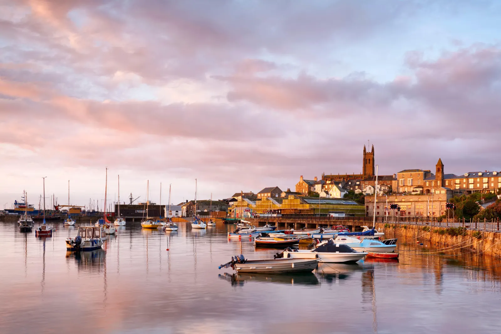
Twenty-six miles west and the light changes.[[cite:editorial]] Penzance sits at the far end of the main line and the far end of most people's idea of England, facing a bay that holds St Michael's Mount like an ornament. The drive is unremarkable β€” a good road through the old mining towns β€” and that is rather the point: the journey is the price of admission, and the arrival does all the work. Take the Marazion road for the last stretch at least once.

What to do in Penzance

Walk the promenade to Newlyn and back, swim in the Jubilee Pool β€” a 1935 lido on the seafront, with a geothermally heated section[[cite:jubilee-pool]] β€” and spend an hour in Penlee House[[cite:penlee]] to see what the Newlyn School painters made of this light. The Isles of Scilly ferry and helicopter both leave from here[[cite:scilly-travel]], and St Michael's Mount is a short bus ride east.

Read the Penzance guide

Going the other way: Penzance to Truro

Penzance to Truro is the same 26 miles and the same 40 minutes.[[cite:editorial]] Heading east on a Saturday morning in summer you will meet the incoming holiday traffic head-on around Hayle, so allow extra. The train is the same 35 minutes in either direction[[cite:gwr]], whatever the road is doing.

Article Sources
  1. Road distance and drive time: measured between the two town centres by the Cornwall.co.uk editorial team and reviewed against local knowledge of the route.
  2. Road network, road classifications and place names: OpenStreetMap contributors. Available at: https://www.openstreetmap.org/copyright (Open Database Licence 1.0).
  3. Route shape on the map, and the detour figures for each stop along the way: Open Source Routing Machine (OSRM), derived from OpenStreetMap road data. Available at: https://project-osrm.org
  4. Position of each town, village and beach on the map: OS National Grid references published on that place’s own guide on this site. Available at: https://www.ordnancesurvey.co.uk
  5. Live traffic and turn-by-turn directions, linked from the route map: Google Maps. Available at: https://www.google.com/maps
  6. Cycling times are given at a steady touring pace, and walking times are calculated at 3mph on mixed terrain. Both are planning estimates rather than measured journeys, and are labelled as estimates on the page.