๐Ÿ‚ The best Cornwall hotels this autumn ๐Ÿ‚
Cornwall.co.uk
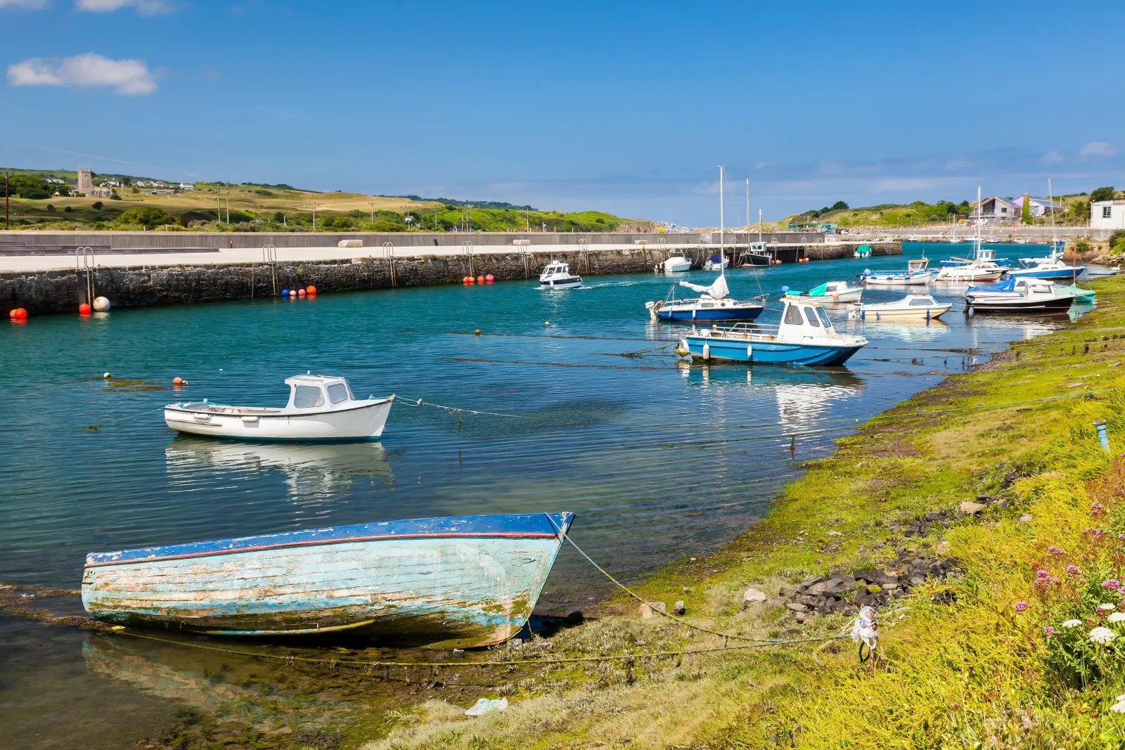
Arriving in Hayle

Travel distances

Truro to Hayle

Truro to Hayle on the map

Start and finishThe route by roadSee the stops along the way on their own map โ†“

Open this route in Google Maps โ†— for live traffic and turn-by-turn directions.

Distance

18 miles

by road

By car

About 30 minutes

in normal traffic

By bike

About 1 hour 45 minutes

steady pace

By foot

About 5 hours 30 minutes

on foot

Before you set off

The A30 between Truro and Hayle is a fast dual carriageway for most of its length. In summer the approach to Hayle on the A3074 can back up as holiday traffic makes for St Ives, and the Hayle roundabouts slow on Saturday mornings. Outside peak times the road is entirely clear.

Which way to go

The fastest route

Take the A30 westbound from Truro through Chiverton Cross and Redruth, then exit at the Hayle junction and follow the A3074 or B3301 into the town.1 The drive is fast and well signed. Allow an extra ten minutes on summer Saturday mornings.

The scenic route

Take the A390 west from Truro through Shortlanesend and Chacewater, following the B3298 through the mining country to Redruth, then picking up the B3301 coast road through Portreath and Godrevy to Hayle.1 The cliff road above the north coast is outstanding. Add about thirty minutes.

Caravans and motorhomes

The A30 is suitable for all vehicles including caravans and motorhomes. Hayle is a good base for large vehicles in west Cornwall, with the Three Beaches Touring Park on the northern edge of the town a short drive from both Porthkidney and Phillack beaches.
Stops along the way

Stops along the way โ€” tap or hover a pin for a photo, the detour and a link to its guideStart and finishThe route by road

  1. Start

    Truro

  2. Redruth

    0.3 miles off the A30, adds roughly 5 minutes

    The capital of Cornish mining country, with Carn Brea rising above it and the World Heritage Site landscape on every side.2

  3. Portreath

    1 mile off the B3301, adds roughly 7 minutes

    A compact north coast beach with a harbour wall and good surf, reached by a minor road down from the cliff top.

  4. Godrevy

    0.5 miles off the B3301, adds roughly 5 minutes

    A National Trust headland with the lighthouse Virginia Woolf wrote about, a broad beach and reliable seal-watching from the rocks.3

  5. Arrive

    Hayle

Practical information

Parking

Hayle has car parks near the harbour at Penpol Terrace and at the Foundry car park, both close to the town centre. The beach at Porthkidney has its own car park approached from St Ives Road. The town is compact and most of it is within walking distance of either car park.

Train and bus

The train from Truro to Hayle runs frequently on the main Penzance line, with a journey time of about twenty minutes.4 It is an excellent option โ€” the approach to Hayle by rail, crossing the estuary on the viaduct with the Towans visible to the north, is one of the most scenic short journeys in west Cornwall. First Kernow buses also cover the route.5

The best time to travel

Any time outside summer Saturday mornings on the A30 approach to Hayle. The train is the best option at peak times. The coast road via Godrevy is best on a clear day outside the peak season.

About the Truro to Hayle journey

Eighteen miles west from the cathedral city to the estuary town, and a journey that covers more Cornish history per mile than almost any other. The A30 passes through the World Heritage Site mining landscape โ€” Carn Brea, Redruth, the engine houses of Camborne to the left โ€” before the land flattens and opens at Hayle, where the estuary glitters between three miles of dune-backed sand on the Towans to the north and the flat sands of Lelant Saltings to the south. It is one of the great approaches to the Penwith peninsula, and the train does it even better than the car.

What to do in Hayle

Walk the Towans โ€” the three-mile arc of sand dunes above Hayle beach โ€” which is one of the longest and least-crowded beach walks in Cornwall.6 The Hayle Estuary RSPB reserve, a short walk south, is one of the best birdwatching sites in the county in winter. The Harvey's Foundry site in the town, where the great beam engines were cast for mines around the world, is being restored as a heritage and arts quarter. St Ives is four miles along the coast on the B3301.

Read the Hayle guide

Going the other way: Hayle to Truro

Hayle to Truro is the same eighteen miles in reverse, taking the A30 east to Chiverton and the A390 or A30 into Truro. The train is equally fast in both directions.

Article Sources
  1. OpenStreetMap contributors (2026). Road network, road classifications and place names. Copyright and licence [online]. Available at: https://www.openstreetmap.org/copyright OpenStreetMap[โ†ฉ]
  2. Cornwall and West Devon Mining Landscape World Heritage Site (no date). Home page [online]. Available at: https://www.cornishmining.org.uk Cornish Mining World Heritage[โ†ฉ]
  3. National Trust (no date). Home page [online]. Available at: https://www.nationaltrust.org.uk National Trust[โ†ฉ]
  4. Great Western Railway (no date). Plan your journey: timetables and branch-line services in Cornwall [online]. Available at: https://www.gwr.com/plan-journey Great Western Railway[โ†ฉ]
  5. First Kernow (no date). Bus services, routes and timetables in Cornwall [online]. Available at: https://www.firstbus.co.uk/cornwall First Kernow[โ†ฉ]
  6. Visit Cornwall (no date). Cornwall events calendar [online]. Available at: https://www.visitcornwall.com Visit Cornwall[โ†ฉ]
  7. Project OSRM (no date). Open Source Routing Machine: route shape and detour calculations [online]. Available at: https://project-osrm.org Project OSRM
  8. Ordnance Survey (no date). National Grid references used to position each place on the route map [online]. Available at: https://www.ordnancesurvey.co.uk Ordnance Survey
  9. Google (no date). Google Maps: live traffic and turn-by-turn directions [online]. Available at: https://www.google.com/maps Google Maps