πŸ‚ The best Cornwall hotels this autumn πŸ‚
Cornwall.co.uk
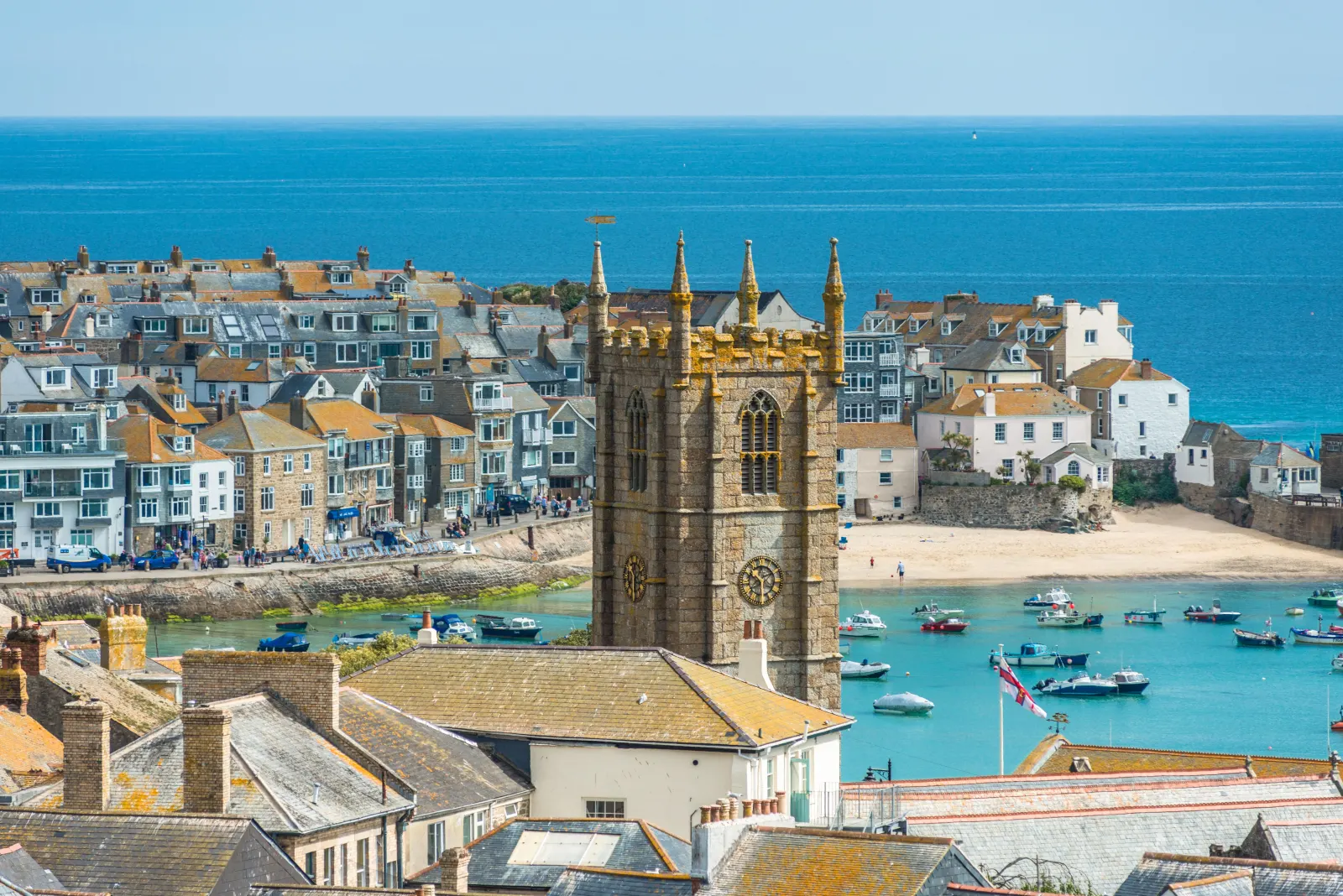
Arriving in St Ives

Travel distances

Truro to St Ives

Truro to St Ives on the map

Start and finishThe route by roadSee the stops along the way on their own map ↓

Open this route in Google Maps β†— for live traffic and turn-by-turn directions.

Distance

25 miles

by road

By car

About 40 minutes

in normal traffic

By bike

About 2 hours 30 minutes

steady pace

By foot

About 8 hours 20 minutes

estimated at a 3mph walking pace

Before you set off

St Ives is the hardest town in Cornwall to drive into in August. The A30 gets you there quickly enough; the problem is the last two miles, where a single road drops into a town that was laid out for fishing boats. Queues down the hill at Carbis Bay are routine from mid-July to early September.[[cite:editorial]]

Which way to go

The fastest route

A390 west out of Truro, join the A30 at Chiverton Cross, and stay on it past Redruth and Camborne. Come off at the St Ives junction just before Hayle and follow the A3074 through Lelant and Carbis Bay along the bay.[[cite:osm]]

The scenic route

Leave the A30 early at Pool and take the B3301 coast road through Portreath, Gwithian and the Hayle Towans[[cite:osm]]. It runs along the top of the cliffs with the whole of St Ives Bay opening up in front of you, and rejoins the A3074 at Hayle. Add about twenty-five minutes.[[cite:editorial]]

Caravans and motorhomes

Do not take a caravan or a large motorhome into St Ives. The town centre is a maze of one-way lanes with stone walls on both sides and nowhere to turn. Use the St Erth Park & Ride, which is signed from the A30 and sits next to the branch-line station.[[cite:gwr]]
Stops along the way

Stops along the way β€” tap or hover a pin for a photo, the detour and a link to its guideStart and finishThe route by road

  1. Start

    Truro

  2. Redruth

    0.8 miles off the A30, adds roughly 8 minutes

    Mining heritage and the climb up Carn Brea[[cite:cornish-mining]] for a view across both coasts.

  3. Camborne

    0.6 miles off the A30, adds roughly 7 minutes

    The engineering half of the old mining district, and Trevithick's birthplace.[[cite:cornish-mining]]

  4. Hayle

    0.4 miles off the A30, adds roughly 5 minutes

    Three miles of dune-backed sand on the far side of the estuary from St Ives.

  5. Carbis Bay Beach

    1 mile off the A3074, adds roughly 5 minutes

    Sheltered, shallow and a mile short of St Ives β€” often the better swim.

  6. Arrive

    St Ives

Practical information

Parking

Trenwith is the main car park and sits above the town with a shuttle bus down. The Island and Barnoon fill before 9.30am in summer. Honestly, in July and August the Park & Ride at St Erth is not a compromise[[cite:gwr]] β€” it is the quickest way in.

Train and bus

Truro to St Erth on the main line, then the St Ives Bay Line for the last four miles[[cite:gwr]] β€” about 50 minutes all in.[[cite:nationalrail]] The branch line runs along the cliff above Carbis Bay and Porthminster and is worth the fare on its own; it also sidesteps the town's parking entirely.

The best time to travel

Out of season, or before 9am in summer. Late afternoon is the other good window, once the day visitors start leaving.

About the Truro to St Ives journey

Painters came to St Ives for the light reflecting off three sides of water, and the town has been managing the consequences ever since. Twenty-five miles from Truro[[cite:editorial]], almost all of it on good road, and then a bottleneck that has defeated better planners than us. The answer has been sitting there since 1877[[cite:gwr]]: the branch line from St Erth, four miles of track along the cliff edge, which delivers you to the harbour without a parking space anywhere in the story.

What to do in St Ives

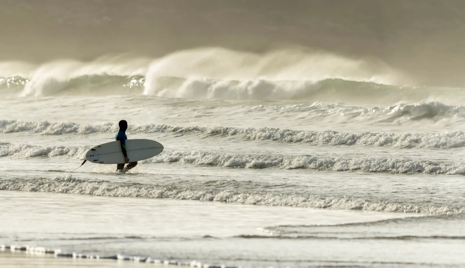
Tate St Ives sits above Porthmeor beach[[cite:tate-st-ives]], and the Barbara Hepworth Museum and Sculpture Garden is five minutes away in her old studio[[cite:hepworth]]. Porthminster is the beach for a long lunch, Porthmeor for surf. Walk out to the Island for the chapel and the view back over the harbour, and keep an eye on your pasty β€” the gulls here are organised.

Read the St Ives guide

Going the other way: St Ives to Truro

St Ives to Truro is the same 25 miles[[cite:editorial]], and usually quicker, because the queue you sat in on the way down is heading the other way. Leaving between 4pm and 6pm in summer means joining the day-visitor exodus up the hill β€” go earlier or later if you can.

Article Sources
  1. Road distance and drive time: measured between the two town centres by the Cornwall.co.uk editorial team and reviewed against local knowledge of the route.
  2. Road network, road classifications and place names: OpenStreetMap contributors. Available at: https://www.openstreetmap.org/copyright (Open Database Licence 1.0).
  3. Route shape on the map, and the detour figures for each stop along the way: Open Source Routing Machine (OSRM), derived from OpenStreetMap road data. Available at: https://project-osrm.org
  4. Position of each town, village and beach on the map: OS National Grid references published on that place’s own guide on this site. Available at: https://www.ordnancesurvey.co.uk
  5. Live traffic and turn-by-turn directions, linked from the route map: Google Maps. Available at: https://www.google.com/maps
  6. Cycling times are given at a steady touring pace, and walking times are calculated at 3mph on mixed terrain. Both are planning estimates rather than measured journeys, and are labelled as estimates on the page.