๐Ÿ‚ The best Cornwall hotels this autumn ๐Ÿ‚
Cornwall.co.uk
Arriving in Bude

Travel distances

St Ives to Bude

St Ives to Bude on the map

Start and finishThe route by roadSee the stops along the way on their own map โ†“

Open this route in Google Maps โ†— for live traffic and turn-by-turn directions.

Distance

70 miles

by road

By car

About 1 hour 30 minutes

in normal traffic

By bike

About 7 hours

steady pace

By foot

About 22 hours 30 minutes

on foot

Before you set off

This is a cross-county journey from the far south-west to the far north, and there is no quick way. The A30 through the middle is the fastest line; the north coast A39 is slower but far more rewarding on a clear day. Allow extra time on summer Saturdays when both routes carry heavy holiday traffic, particularly around Hayle, Camborne and the approaches to Bude.

Which way to go

The fastest route

Take the A3074 from St Ives to join the A30 at Hayle. Head east on the A30 past Camborne, Redruth and Bodmin, then continue east to Launceston. From Launceston take the A388 north through Holsworthy and the A3072 into Bude.

The scenic route

Take the B3306 coast road east from St Ives through Zennor to St Just, then head north on the B3306 to Pendeen and St Agnes before picking up the A30 at Penzance or the B3301 to Hayle. From Hayle follow the B3301 along the north coast to Portreath and Godrevy, then pick up the A30 east to Redruth and the A39 north through Wadebridge and Camelford to Bude. The northern section along the A39 is outstanding on a clear day.

Caravans and motorhomes

The A30 is suitable for caravans to Launceston. Beyond Launceston the approach to Bude on the A3072 is single carriageway but straightforward. Leave St Ives from Hayle for caravans โ€” the town itself is not accessible for large outfits. Bude is well set up for caravans, with the Bude Holiday Resort on the northern edge of the town.
Stops along the way

Stops along the way โ€” tap or hover a pin for a photo, the detour and a link to its guideStart and finishThe route by road

  1. Start

    St Ives

  2. Hayle

    4 miles, adds roughly 5 minutes

    The estuary town and gateway to west Cornwall, with Hayle Towans beach stretching three miles north along St Ives Bay.

  3. Bodmin

    38 miles, adds roughly 6 minutes

    The ancient county town and gateway to Bodmin Moor, with Bodmin Jail and Cardinham Woods a short detour from the A30.

  4. Launceston

    50 miles, adds roughly 5 minutes

    The medieval gatehouse town with a Norman castle on the hill โ€” the natural halfway point and a good stop for fuel and lunch.

  5. Camelford

    60 miles, no detour needed

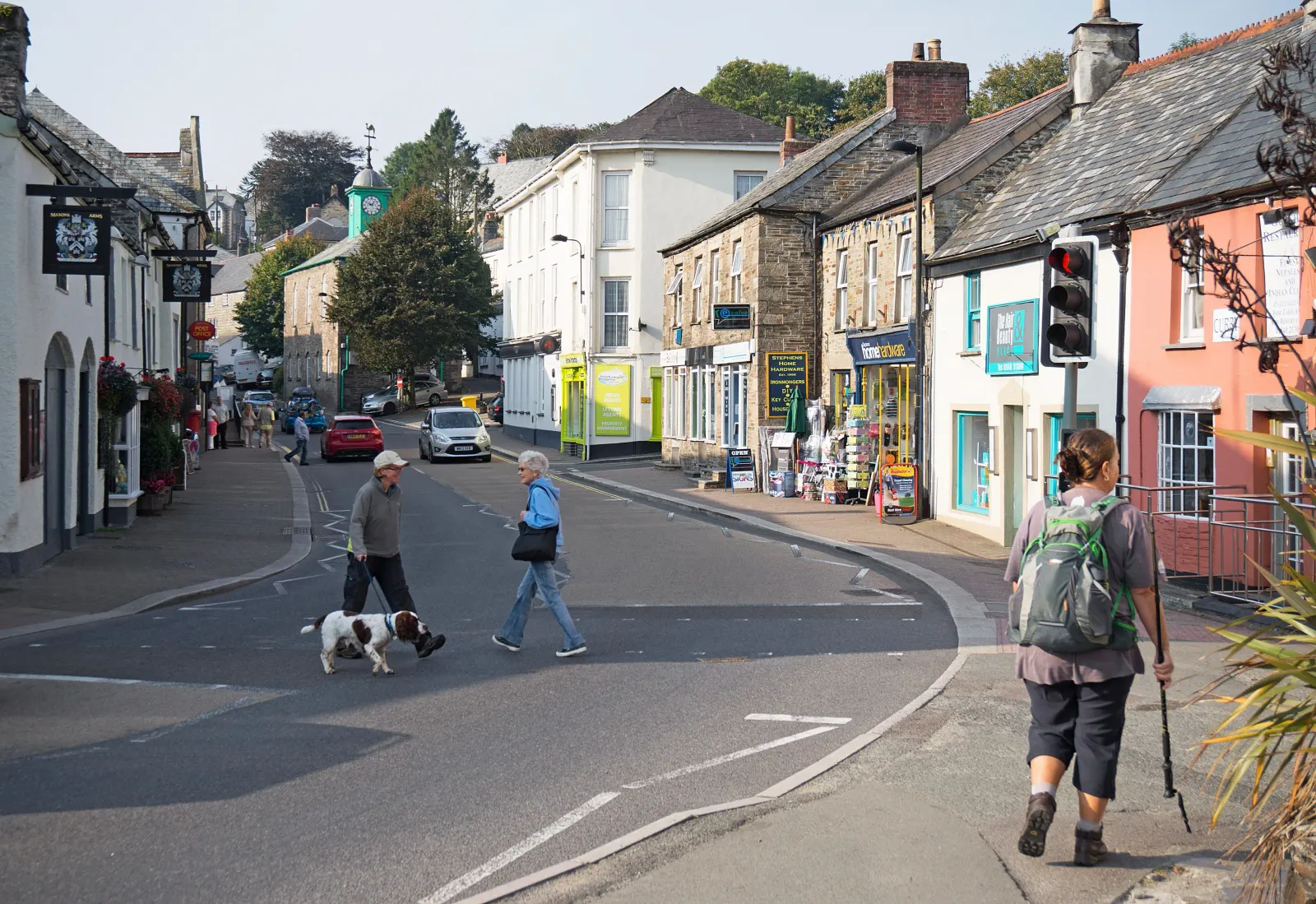
    The gateway to the north Cornwall coast on the A39, with Roughtor and Brown Willy rising above it on the moor.

  6. Arrive

    Bude

Practical information

Parking

Bude has several car parks around the town centre and near the beach. The Summerleaze car park is the most popular and fills first on a good beach day; the Bencoolen Street and Belle Vue car parks are a short walk further and usually have space. All are signed from the main approach roads.

Train and bus

By public transport this journey is best broken into stages. The train from St Ives reaches St Erth, then continues to Bodmin Parkway or Launceston by bus. First Kernow services connect Launceston to Bude, but the full journey takes the best part of three hours with connections. The car is the practical choice for a direct trip.

The best time to travel

Weekday mornings outside July and August. The A30 is fastest. The A39 north coast road is best in spring or early autumn when it is free of summer traffic and the light on the Atlantic is at its finest.

About the St Ives to Bude journey

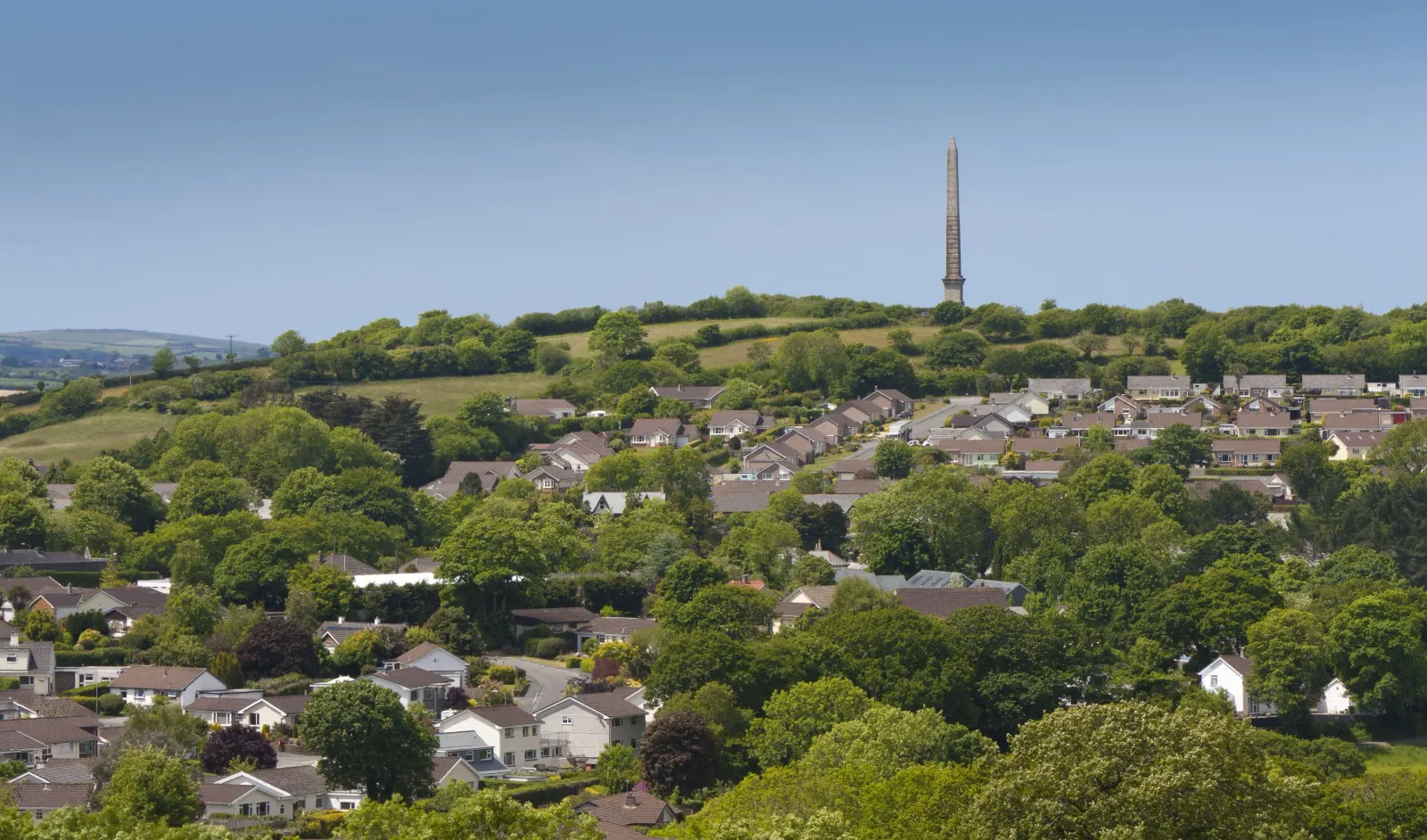
Seventy miles from the smallest cathedral city in England to the Atlantic surf town at Cornwall's northern edge, and a journey that crosses the entire length of the county. St Ives is sheltered and south-facing, its harbour looking towards the Lizard; Bude is exposed and north-facing, its three beaches open to the full force of the Atlantic. The drive between them covers the whole story of Cornwall: the mining heartland around Camborne and Redruth, the ancient county town at Bodmin, the moor, the border town at Launceston and the descent to the surf coast.

What to do in Bude

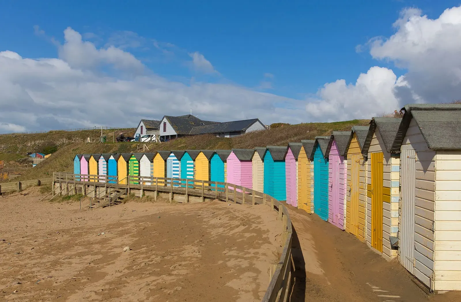
Summerleaze Beach is the town beach, with its famous sea pool cut into the rock at the northern end. The canal walk south from the Strand leads to Helebridge through quiet countryside. The coast path north reaches Sandymouth and Morwenstow, the most dramatic cliff scenery on the north Cornwall coast. The Bude Castle Heritage Centre on the Strand holds the town's history. Crooklets Beach, five minutes north, is the main surf beach.

Read the Bude guide

Going the other way: Bude to St Ives

Bude to St Ives reverses the route: A3072 and A388 south to Launceston, then A30 west through Bodmin and the mining country to Hayle and the A3074 into St Ives. The A39 south through Camelford and Wadebridge is a slower but beautiful alternative.

Article Sources
  1. Project OSRM (no date). Open Source Routing Machine: route shape and detour calculations [online]. Available at: https://project-osrm.org Project OSRM
  2. Ordnance Survey (no date). National Grid references used to position each place on the route map [online]. Available at: https://www.ordnancesurvey.co.uk Ordnance Survey
  3. Google (no date). Google Maps: live traffic and turn-by-turn directions [online]. Available at: https://www.google.com/maps Google Maps