๐Ÿ‚ The best Cornwall hotels this autumn ๐Ÿ‚
Cornwall.co.uk
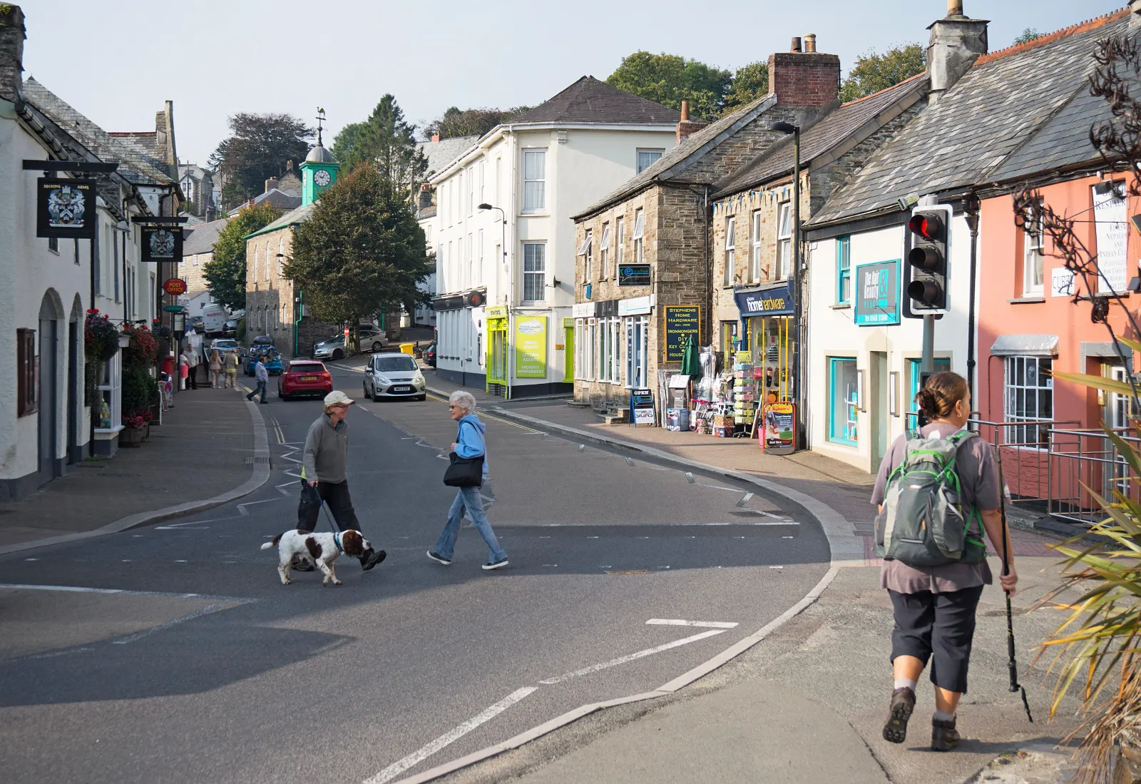
Arriving in Camelford

Travel distances

St Ives to Camelford

St Ives to Camelford on the map

Start and finishThe route by roadSee the stops along the way on their own map โ†“

Open this route in Google Maps โ†— for live traffic and turn-by-turn directions.

Distance

43 miles

by road

By car

About 1 hour

in normal traffic

By bike

About 4 hours 15 minutes

steady pace

By foot

About 13 hours 45 minutes

on foot

Before you set off

This is a diagonal crossing of Cornwall from south-west to north, and no single road does the whole journey. The A30 and A39 together are the fastest combination. Summer Saturdays bring queues at the Hayle and Camborne junctions; the approach to Camelford from Wadebridge on the A39 can also slow at peak times.

Which way to go

The fastest route

Take the A3074 from St Ives to join the A30 at Hayle. Head east on the A30 through Camborne and Redruth to the Chiverton Cross junction, then pick up the A30 north-east and the A39 north through Wadebridge and on to Camelford.

The scenic route

From St Ives take the B3306 coastal road east through Zennor to St Just, then head north on the B3306 through Pendeen and St Agnes to Porthtowan. From Porthtowan cut inland to join the A30 east and the A39 north to Camelford. The coastal section adds around thirty minutes but runs along one of the most dramatic cliff coasts in England.

Caravans and motorhomes

The A30 and A39 are both suitable for caravans and motorhomes. Camelford is a compact town and straightforward to navigate. Leave St Ives from Hayle for caravans. The town car park on Market Place is generous enough for most large vehicles.
Stops along the way

Stops along the way โ€” tap or hover a pin for a photo, the detour and a link to its guideStart and finishThe route by road

  1. Start

    St Ives

  2. Hayle

    4 miles, adds roughly 5 minutes

    The estuary town and gateway to St Ives Bay on the A30, with three miles of Towans beach to the north.

  3. Redruth

    17 miles, adds roughly 5 minutes

    The capital of Cornish mining country, with the Poldark landscape and the World Heritage Site engine houses on every side.

  4. Wadebridge

    36 miles, adds roughly 4 minutes

    The start of the Camel Trail and a lively market town at the head of the Camel estuary, with excellent food and easy cycling to Padstow.

  5. Arrive

    Camelford

Practical information

Parking

Camelford has on-street parking along Fore Street and a town car park on Market Place, both free. The town is small enough that every part of it is within a few minutes' walk.

Train and bus

The St Ives Bay Line connects to St Erth, then the main line runs east. For Camelford, change at Bodmin Parkway and take First Kernow bus services north via Bodmin and Wadebridge, with a connection to Camelford on route 95. The full journey takes around two hours. There is no direct rail service to Camelford.

The best time to travel

Weekday mornings outside July and August. The A30 through Camborne and the A39 through Wadebridge are quietest before 9am. The coastal B3306 is best on a clear day in spring or autumn.

About the St Ives to Camelford journey

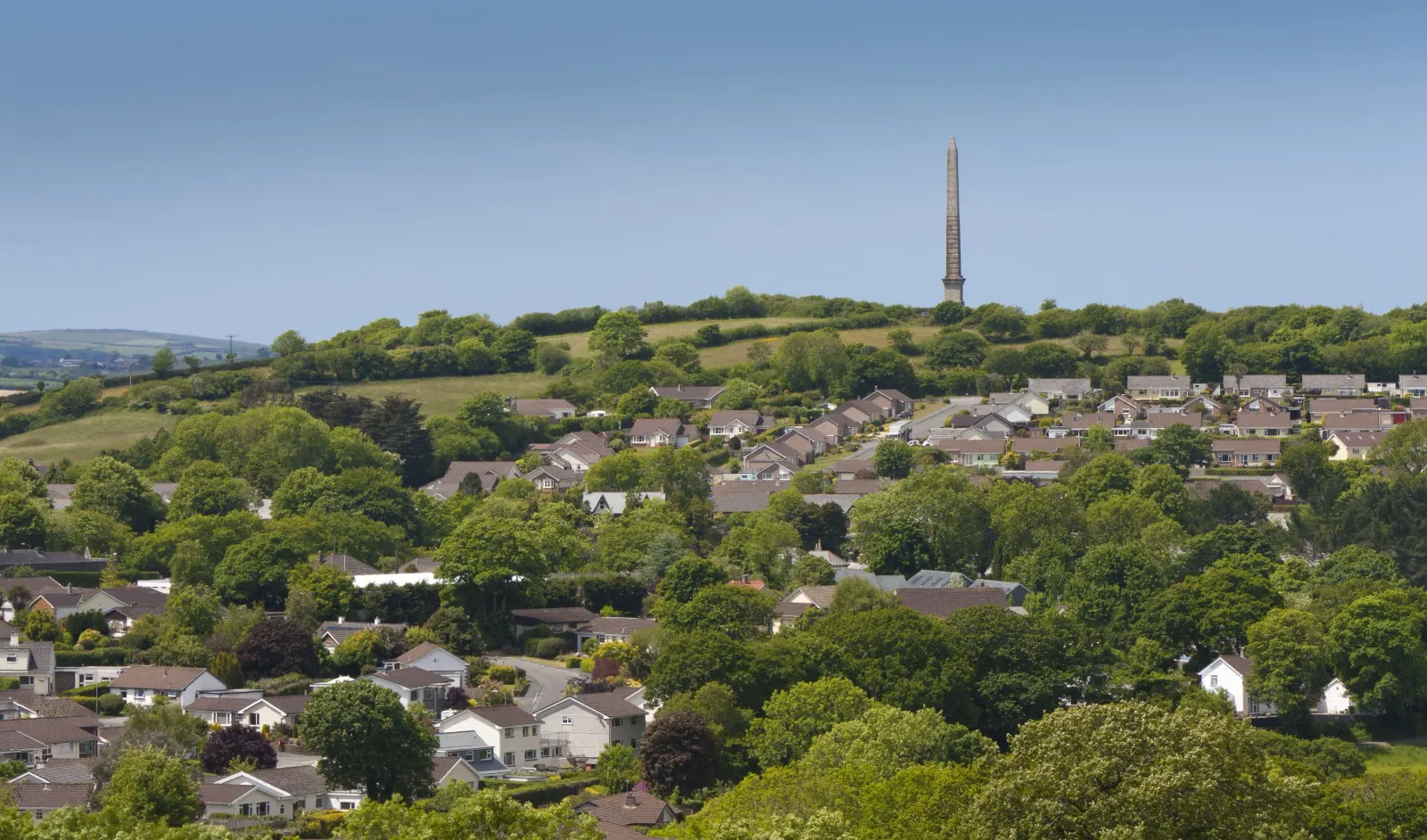
Forty-three miles from the surf and harbour of Penwith to the small market town below Rough Tor, and a journey that cuts diagonally across Cornwall from the Atlantic south-west to the Atlantic north. Camelford is the gateway to Bodmin Moor's highest ground โ€” Rough Tor and Brown Willy are both within four miles โ€” and the north Cornwall coast is fifteen minutes west. It is a town that earns its keep as a base rather than a destination in its own right, but it earns it well, sitting at the crossroads of some of Cornwall's finest landscapes.

What to do in Camelford

The North Cornwall Museum and Gallery on The Clease is free and unexpectedly good, with strong local history and contemporary Cornish art. Rough Tor and Brown Willy, the two summits of Bodmin Moor, are reached most easily from the car park at Rough Tor Ford above Camelford, a forty-minute climb for either. The Camel Trail begins at Wenfordbridge, six miles south-east, and follows the old railway line to Wadebridge and Padstow.

Read the Camelford guide

Going the other way: Camelford to St Ives

Camelford to St Ives: take the A39 south through Wadebridge and Indian Queens, pick up the A30 west through Redruth and Camborne to Hayle, then the A3074 into St Ives.

Article Sources
  1. Project OSRM (no date). Open Source Routing Machine: route shape and detour calculations [online]. Available at: https://project-osrm.org Project OSRM
  2. Ordnance Survey (no date). National Grid references used to position each place on the route map [online]. Available at: https://www.ordnancesurvey.co.uk Ordnance Survey
  3. Google (no date). Google Maps: live traffic and turn-by-turn directions [online]. Available at: https://www.google.com/maps Google Maps